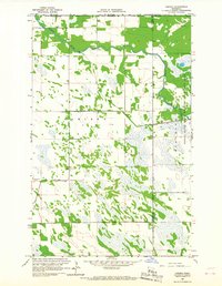
1966 Map of Caribou
USGS Topo · Published 1967About this map
The northern frontier of Minnesota meets the Canada United States border in this mid-1960s study of Kittson and Roseau counties. The settlement of Caribou sits just south of the international line, marked by its local Cem and a nearby Gaging Station on the Roseau River. The landscape is defined by an extensive network of water management, including Judicial Ditch No 32, State Ditch No 51, and County Ditch No 18, which cross the terrain to drain the low-lying Blooming Valley.
Find a feature on this map
17 named features on this map. Tap any name to fly to it.
Don’t see what you’re looking for? This feature index may not catch every label — zoom into the map to look around manually.
Map Details
Editions of this 1966 Caribou Map
This is the sole edition of this map. No revisions or reprints were ever made.
Other maps of this area
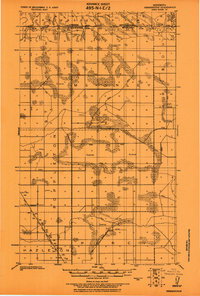
1918 · Hemmington
USGS Topo · 1:62,500
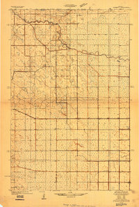
1930 · Juneberry
USGS Topo · 1:31,680
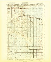
1932 · Juneberry
USGS Topo · 1:62,500
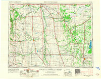
1952 · Thief River Falls
USGS Topo · 1:250,000
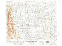
1956 · Thief River Falls
USGS Topo · 1:250,000
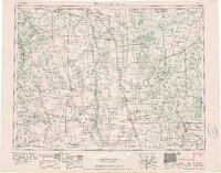
1957 · Thief River Falls
USGS Topo · 1:250,000
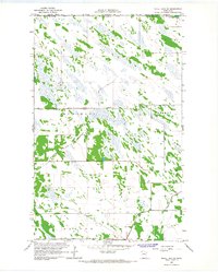
1966 · Skull Lake NE
USGS Topo · 1:24,000
1966 · Skull Lake SE
USGS Topo · 1:24,000
1966 · Juneberry Ridge
USGS Topo · 1:24,000
1966 · Caribou NE
USGS Topo · 1:24,000