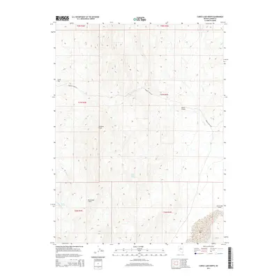
2014 Map of Carico Lake North
USGS Topo · Published 2014About this map
Carico Lake and the southeastern extent of the Shoshone Range dominate this 2014 survey of Lander County, Nevada. The high-desert landscape is defined by its drainages and seasonal water sources, including Willow Creek Spring, Granite Spring, and the winding course of Cooks Cr. The map illustrates a region largely defined by its natural topography, from the broad Carico Lake Valley to the confined passages of Wilson Canyon and Rattlesnake Canyon. Human imprint is sparse here, primarily represented by the path of Redrock Canyon Rd and the cattle-grazing territory of Smith Flat. This modern topopgraphical record preserves the land-use patterns and hydrography of the Great Basin as they stood in the early twenty-first century.
Find a feature on this map
17 named features on this map. Tap any name to fly to it.
Don’t see what you’re looking for? This feature index may not catch every label — zoom into the map to look around manually.
Map Details
Editions of this 2014 Carico Lake North Map
This is the sole edition of this map. No revisions or reprints were ever made.
Other maps of this area

1932 · Sonoma Range
USGS Topo · 1:250,000

1939 · Sonoma Range
USGS Topo · 1:250,000

1949 · Mt. Lewis
USGS Topo · 1:62,500

1950 · Mt. Lewis
USGS Topo · 1:62,500

1955 · Winnemucca
USGS Topo · 1:250,000

1958 · Winnemucca
USGS Topo · 1:250,000

1961 · McCoy
USGS Topo · 1:62,500

1961 · The Cedars
USGS Topo · 1:62,500

1962 · Winnemucca
USGS Topo · 1:250,000

1962 · Carico Lake
USGS Topo · 1:62,500