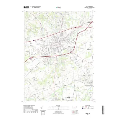
2019 Map of Carlisle
USGS Topo · Published 2019About this map
Carlisle serves as a dense educational and military hub within this Cumberland County landscape, anchored by the historic campus of Dickinson College and The Dickinson School of Law of the Pennsylvania State University. The town's long history is etched into its numerous burial grounds, from the Old Graveyard and Ashland Cem Soldiers' Lot near the center to the Bonny Brook Graveyard further south. To the northeast, the Carlisle Barracks and the United States Army War College highlight the area's strategic significance.
Find a feature on this map
269 named features on this map. Tap any name to fly to it.
Don’t see what you’re looking for? This feature index may not catch every label — zoom into the map to look around manually.
Map Details
Editions of this 2019 Carlisle Map
This is the sole edition of this map. No revisions or reprints were ever made.
Other maps of this area

1904 · Carlisle
USGS Topo · 1:62,500

1907 · New Bloomfield
USGS Topo · 1:62,500

1919 · Newville
USGS Topo · 1:62,500

1930 · Loysville
USGS Topo · 1:62,500

1933 · Loysville
USGS Topo · 1:62,500

1943 · New Bloomfield
USGS Topo · 1:62,500

1943 · Carlisle
USGS Topo · 1:62,500

1945 · Newville
USGS Topo · 1:62,500

1950 · Harrisburg
USGS Topo · 1:250,000
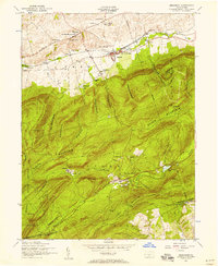
1952 · Dickinson
USGS Topo · 1:24,000
Featured Places
- Carlisle, PA
- Middlesex Township, PA
- Schlusser, PA
- Boiling Springs, South Middleton Township
- West Pennsboro Township, PA