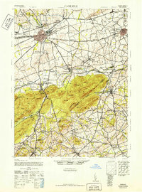
1943 Map of Carlisle
USGS Topo · Published 1952About this map
Carlisle Barracks and the established borough of Carlisle anchor this mid-century portrait of Cumberland County, where the transition from a traditional rail-and-river economy to the modern highway era is clearly visible. The newly constructed Pennsylvania Turnpike cuts across the landscape, featuring the Middlesex Interchange and Carlisle Interchange as major transit hubs. In contrast to this high-speed infrastructure, a dense network of one-room schoolhouses and local churches, such as Union Hall Sch and the Mennonite Ch, still dot the rural townships.
Find a feature on this map
137 named features on this map. Tap any name to fly to it.
Don’t see what you’re looking for? This feature index may not catch every label — zoom into the map to look around manually.
Map Details
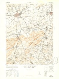
Editions of this 1943 Carlisle Map
3 editions found

Other maps of this area

1892 · Harrisburg
USGS Topo · 1:62,500

1899 · Harrisburg
USGS Topo · 1:62,500

1904 · Carlisle
USGS Topo · 1:62,500

1906 · New Cumberland
USGS Topo · 1:62,500

1907 · New Bloomfield
USGS Topo · 1:62,500

1908 · Gettysburg
USGS Topo · 1:62,500

1909 · Fairfield
USGS Topo · 1:62,500

1919 · Newville
USGS Topo · 1:62,500

1920 · Hanover
USGS Topo · 1:62,500

1922 · Hanover
USGS Topo · 1:62,500
Featured Places
- Carlisle, PA
- Middlesex Township, PA
- Schlusser, PA
- Boiling Springs, South Middleton Township
- Latimore Township, PA