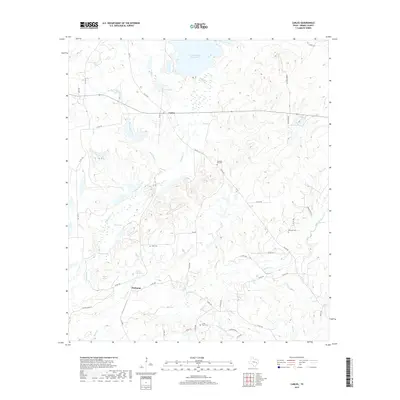
2019 Map of Carlos
USGS Topo · Published 2019About this map
Piedmont and Carlos serve as the primary hubs in this central Grimes County landscape, where the terrain is defined by a dense network of seasonal and perennial waterways. The northern reach is dominated by the expansive Gibbons Creek Reservoir, a modern hydrological feature that contrasts with the area's smaller, historic water bodies such as Carlos Lake, Blue Lake, and Moody Lake. This region was once noted for its mineral waters, evidenced by the presence of Sulphur Springs and Piedmont Springs along the banks of Sulphur Br.
Find a feature on this map
53 named features on this map. Tap any name to fly to it.
Don’t see what you’re looking for? This feature index may not catch every label — zoom into the map to look around manually.
Map Details
Editions of this 2019 Carlos Map
This is the sole edition of this map. No revisions or reprints were ever made.
Other maps of this area

1913 · Millican
USGS Topo · 1:31,680

1914 · Navasota
USGS Topo · 1:62,500

1954 · Beaumont
USGS Topo · 1:250,000

1954 · Austin
USGS Topo · 1:250,000

1956 · Carlos
USGS Topo · 1:62,500

1957 · Beaumont
USGS Topo · 1:250,000

1958 · Navasota
USGS Topo · 1:24,000

1959 · Millican
USGS Topo · 1:24,000

1959 · Reliance
USGS Topo · 1:24,000

1959 · Ferguson Crossing
USGS Topo · 1:24,000