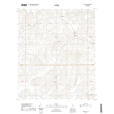
2020 Map of Carlowville
USGS Topo · Published 2020About this map
Richmond and Carlowville anchor the northern reaches of this Dallas County landscape, where the terrain is defined by prominent rises like Morgan Hill and Wildcat Hill. The map documents a predominantly rural and agricultural setting, with small communities connected by a network of county roads. To the south, the settlement of Ackerville and the area surrounding Snow Hill reflect the historically dispersed settlement patterns of the Alabama Black Belt.
Find a feature on this map
45 named features on this map. Tap any name to fly to it.
Don’t see what you’re looking for? This feature index may not catch every label — zoom into the map to look around manually.
Map Details
Editions of this 2020 Carlowville Map
This is the sole edition of this map. No revisions or reprints were ever made.
Other maps of this area

1953 · Montgomery
USGS Topo · 1:250,000

1953 · Andalusia
USGS Topo · 1:250,000

1956 · Montgomery
USGS Topo · 1:250,000

1957 · Montgomery
USGS Topo · 1:250,000

1957 · Andalusia
USGS Topo · 1:250,000

1957 · Carlowville
USGS Topo · 1:62,500

1957 · Braggs
USGS Topo · 1:62,500

1975 · Carlowville NE
USGS Topo · 1:24,000
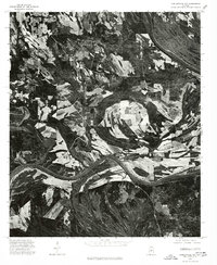
1975 · Carlowville NW
USGS Topo · 1:24,000
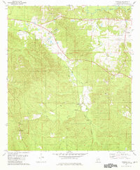
1981 · Rosebud
USGS Topo · 1:24,000