
1975 Map of Carlowville NE
USGS Topo · Published 1977About this map
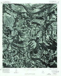
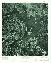
The Alabama River anchors this orthophotoquad, winding in a massive, serpentine oxbow across the western landscape. Unlike a traditional topographic map, this 1970s imagery provides a direct photographic record of the land surface, revealing the complex patterns of alluvial deposits and vegetation within the river's active floodplain. The contrast between the dark, timbered river bottoms and the geometric clearings for agriculture on the higher bluffs illustrates the deep-seated relationship between the river's hydrology and local land use. While the map is sparse on human-made labels, the raw photographic detail allows for a precise study of timber stands and field boundaries as they existed in the mid-1970s, making it a valuable tool for researchers tracking environmental change or historical property lines along this major southern waterway.
Find a feature on this map
1 named feature on this map. Tap any name to fly to it.
Don’t see what you’re looking for? This feature index may not catch every label — zoom into the map to look around manually.
Map Details
Editions of this 1975 Carlowville NE Map
This is the sole edition of this map. No revisions or reprints were ever made.
Other maps of this area

1953 · Montgomery
USGS Topo · 1:250,000

1956 · Montgomery
USGS Topo · 1:250,000

1957 · Montgomery
USGS Topo · 1:250,000

1957 · Carlowville
USGS Topo · 1:62,500

1957 · Benton
USGS Topo · 1:62,500

1957 · Braggs
USGS Topo · 1:62,500

1958 · Selma
USGS Topo · 1:62,500

1975 · Selma SE
USGS Topo · 1:24,000
1975 · Benton SW
USGS Topo · 1:24,000
1975 · Selma SW
USGS Topo · 1:24,000