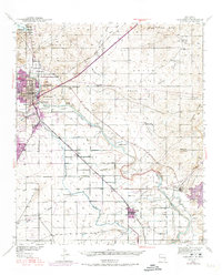
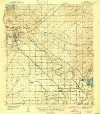
1939 Map of Carlsbad
USGS Topo · Published 1974About this map
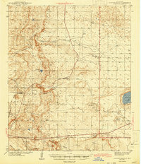
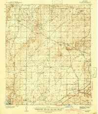
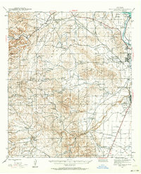
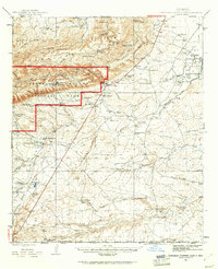
Pecos River irrigation and industrial development define this Eddy County landscape as it transitioned from 1930s ranching into a more populated agricultural and mining hub. The survey captures the irrigation network fed by Lake Avalon and the Carlsbad National Wildlife Refuge, highlighting the intricate system of canals and siphons serving Carlsbad and peripheral neighborhoods like La Huerta and Hagerman Heights.
Find a feature on this map
43 named features on this map. Tap any name to fly to it.
Don’t see what you’re looking for? This feature index may not catch every label — zoom into the map to look around manually.
Map Details
Editions of this 1939 Carlsbad Map
2 editions found
Other maps of this area
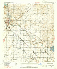
1939 · Carlsbad
USGS Topo · 1:62,500
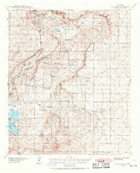
1939 · Nash Draw
USGS Topo · 1:62,500
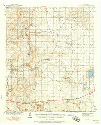
1942 · Clayton Basin
USGS Topo · 1:62,500
1943 · Carlsbad
USGS Topo · 1:62,500
1943 · Clayton Basin
USGS Topo · 1:62,500
1943 · Oil City
USGS Topo · 1:62,500

1943 · Nash Draw
USGS Topo · 1:62,500
1943 · West Carlsbad
USGS Topo · 1:62,500

1945 · West Carlsbad
USGS Topo · 1:62,500
1945 · Carlsbad Caverns East
USGS Topo · 1:62,500