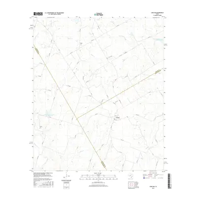
2016 Map of Carlton
USGS Topo · Published 2016About this map
Carlton serves as the central hub of this Central Texas landscape, situated where the borders of Hamilton, Erath, and Comanche counties converge. The terrain is defined by a dense network of seasonal watercourses, including Gilmore Creek and Wolf Prong Creek, which feed into engineered catchments like the Soil Conservation Service Site 27 Reservoir. These water management features reflect the region's agricultural adaptation to the varied drainage of the Texas Cross Timbers area.
Find a feature on this map
61 named features on this map. Tap any name to fly to it.
Don’t see what you’re looking for? This feature index may not catch every label — zoom into the map to look around manually.
Map Details
Editions of this 2016 Carlton Map
This is the sole edition of this map. No revisions or reprints were ever made.
Other maps of this area
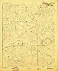
1888 · Hamilton
USGS Topo · 1:125,000
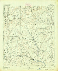
1890 · Stephenville
USGS Topo · 1:125,000
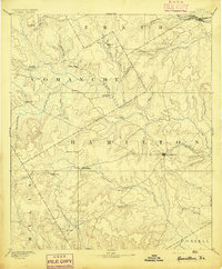
1894 · Hamilton
USGS Topo · 1:125,000
1920 · Stephenville
USGS Topo · 1:125,000
1954 · Brownwood
USGS Topo · 1:250,000
1954 · Abilene
USGS Topo · 1:250,000
1956 · Gustine
USGS Topo · 1:62,500
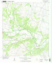
1956 · Gentrys Mill
USGS Topo · 1:24,000
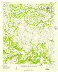
1956 · Hico
USGS Topo · 1:62,500
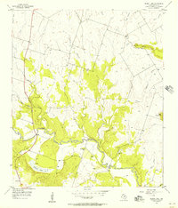
1956 · Eidson Lake
USGS Topo · 1:24,000