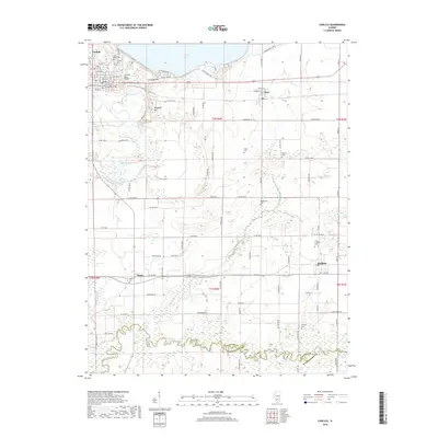
2018 Map of Carlyle
USGS Topo · Published 2018About this map
The General Dean Bridge stands as a prominent landmark on the northern edge of this Illinois landscape, crossing the Kaskaskia River just east of Carlyle. This area is characterized by a high concentration of family and community burial sites, including Saint Marys Cem, Collins Cem, and the Trinity Lutheran Cem near Hoffman. These sites, along with others like Matsler Cem and Posey Cem, offer significant primary-source documentation for genealogists and local historians tracing the settlement patterns of Clinton and Washington counties.
Find a feature on this map
61 named features on this map. Tap any name to fly to it.
Don’t see what you’re looking for? This feature index may not catch every label — zoom into the map to look around manually.
Map Details
Editions of this 2018 Carlyle Map
This is the sole edition of this map. No revisions or reprints were ever made.
Other maps of this area

1910 · Carlyle
USGS Topo · 1:62,500

1914 · Centralia
USGS Topo · 1:62,500

1931 · Hoyleton
USGS Topo · 1:48,000

1932 · Nashville
USGS Topo · 1:62,500

1935 · Centralia
USGS Topo · 1:62,500

1936 · Nashville
USGS Topo · 1:62,500

1943 · Ashley
USGS Topo · 1:62,500

1946 · Ashley
USGS Topo · 1:62,500

1948 · Carlyle
USGS Topo · 1:62,500

1958 · Belleville
USGS Topo · 1:250,000