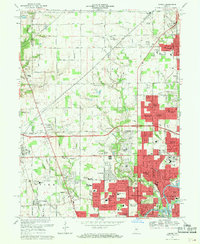
1967 Map of Carmel
USGS Topo · Published 1969About this map
The expanding northern suburbs of Indianapolis are documented here during a period of rapid mid-century growth. The map centers on the transition between the village of Carmel and the emerging residential clusters of Washington and Clay townships. Subdivisions such as College Crest, Orchard Park, and Sherwood Forest illustrate the residential development patterns along the Monon and Penn Central rail lines.
Find a feature on this map
100 named features on this map. Tap any name to fly to it.
Don’t see what you’re looking for? This feature index may not catch every label — zoom into the map to look around manually.
Map Details
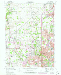
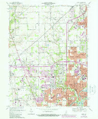
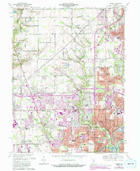
Editions of this 1967 Carmel Map
4 editions found
Other maps of this area

1948 · Indianapolis East
USGS Topo · 1:24,000

1948 · Indianapolis West
USGS Topo · 1:24,000

1952 · Fishers
USGS Topo · 1:24,000

1952 · Carmel
USGS Topo · 1:24,000

1953 · Westfield
USGS Topo · 1:24,000

1953 · Rosston
USGS Topo · 1:24,000

1953 · Zionsville
USGS Topo · 1:24,000

1953 · Noblesville
USGS Topo · 1:24,000

1953 · Clermont
USGS Topo · 1:24,000

1953 · Danville
USGS Topo · 1:250,000