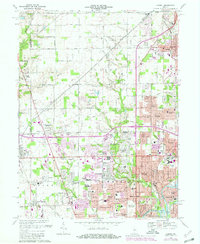
1967 Map of Carmel
USGS Topo · Published 1980About this map
Eagle Village and the developing northern suburbs of Indianapolis define this landscape during a period of rapid suburban expansion. Based on 1950s surveys with significant revisions through the late 1970s, the map documents the transition of rural Hamilton and Marion County farmland into residential grids. The intersection of local history and modern development is visible in the layout of North Augusta Addition, showing the early footprint of post-war housing tracts. While traditional landmarks like Eagle Village anchor the western edge, the emergence of residential streets like Ruth Dr signifies the encroaching urban density. This document serves as a critical record of the mid-century transformation of the northern corridor before it was fully absorbed into the contemporary metropolitan fabric.
Find a feature on this map
3 named features on this map. Tap any name to fly to it.
Don’t see what you’re looking for? This feature index may not catch every label — zoom into the map to look around manually.
Map Details
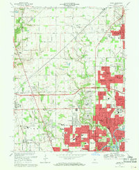
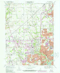
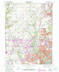
Editions of this 1967 Carmel Map
4 editions found
Other maps of this area

1948 · Indianapolis East
USGS Topo · 1:24,000

1948 · Indianapolis West
USGS Topo · 1:24,000

1952 · Fishers
USGS Topo · 1:24,000

1952 · Carmel
USGS Topo · 1:24,000

1953 · Westfield
USGS Topo · 1:24,000

1953 · Rosston
USGS Topo · 1:24,000

1953 · Zionsville
USGS Topo · 1:24,000

1953 · Noblesville
USGS Topo · 1:24,000

1953 · Clermont
USGS Topo · 1:24,000

1953 · Danville
USGS Topo · 1:250,000