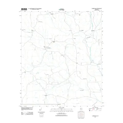
2012 Map of Carmichael
USGS Topo · Published 2012About this map
Langsdale and the surrounding rural communities of eastern Mississippi are defined by a complex network of creeks and active oil production. The landscape is crisscrossed by waterways including Buckatunna Cr and Bolingchessa Cr, which drain the timbered terrain south of Carmichael. For genealogists and local historians, several family-named burial grounds like Bass Everett Cem and Berry Cem are documented alongside Andrews Chapel. Significant industrial activity is visible through the Junction City Oil Field and the West Langsdale Oil Field, which speak to the area's continued reliance on natural resource extraction. Notable historical landmarks such as an Indian Mound near Crandall and the Quitman Lookout Tower provide a look at the diverse cultural and utility-based land use in this part of Clarke County.
Find a feature on this map
80 named features on this map. Tap any name to fly to it.
Don’t see what you’re looking for? This feature index may not catch every label — zoom into the map to look around manually.
Map Details
Editions of this 2012 Carmichael Map
This is the sole edition of this map. No revisions or reprints were ever made.
Other maps of this area

1953 · Hattiesburg
USGS Topo · 1:250,000

1953 · Meridian
USGS Topo · 1:250,000

1957 · Meridian
USGS Topo · 1:250,000

1957 · Quitman
USGS Topo · 1:62,500

1958 · Hattiesburg
USGS Topo · 1:250,000

1964 · Carmichael
USGS Topo · 1:24,000

1964 · De Soto
USGS Topo · 1:24,000

1964 · Shubuta
USGS Topo · 1:24,000

1964 · Matherville
USGS Topo · 1:24,000

1965 · Meridian
USGS Topo · 1:250,000