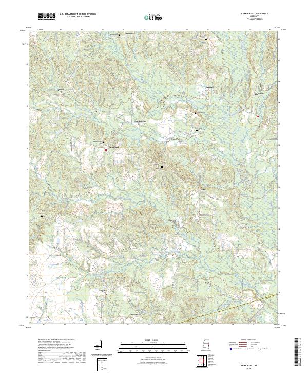
2024 Map of Carmichael
USGS Topo · Published 2024About this map
Buckatunna Creek and its many tributaries, such as Tallabogue Creek and Hanging Moss Creek, define the water-rich landscape of eastern Clarke County. Small, established settlements like Carmichael, Horn, and Junction City are connected by a network of rural routes including Co RD 630 and Co RD 631. The area's long-standing community identity is preserved through numerous family and church burial grounds, from the Andrews Chapel Cem near Carmichael to the Bass Everett Cem in the north.
Find a feature on this map
64 named features on this map. Tap any name to fly to it.
Don’t see what you’re looking for? This feature index may not catch every label — zoom into the map to look around manually.
Map Details
Editions of this 2024 Carmichael Map
This is the sole edition of this map. No revisions or reprints were ever made.
Historical Maps of Langsdale Through Time
12 maps found
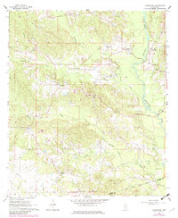
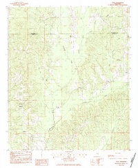
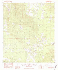
1964 Carmichael
Clarke County, MS
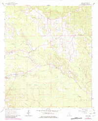
1964 Hale
Clarke County, MS
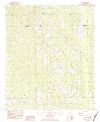
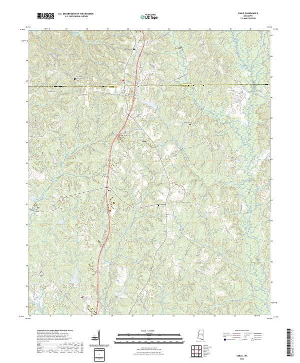
1983 Sable
Clarke County, MS
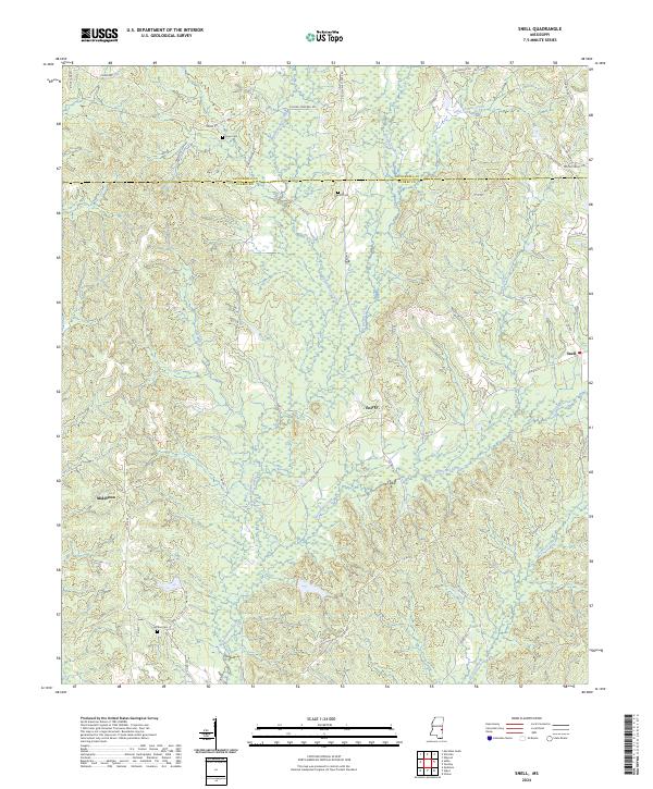
1983 Snell
Clarke County, MS
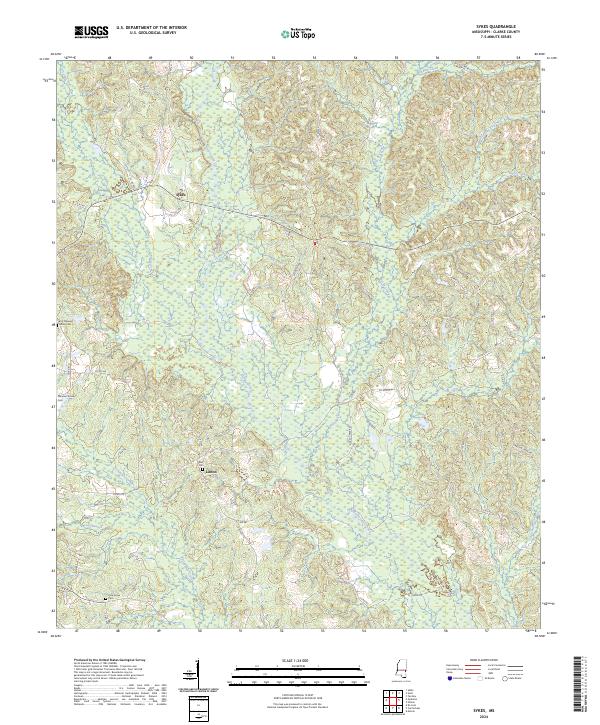
1983 Sykes
Clarke County, MS
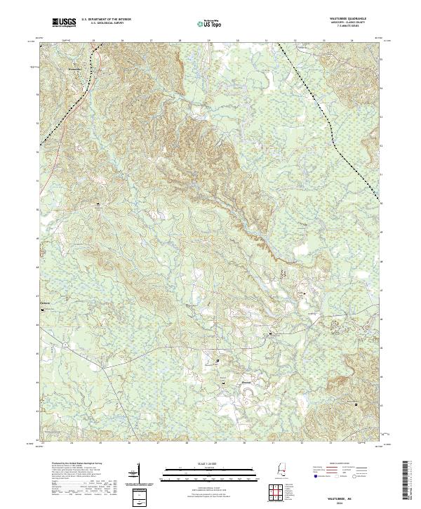
1983 Wautubbee
Clarke County, MS
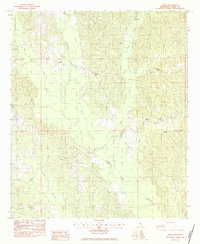
2024 Carmichael
Clarke County, MS
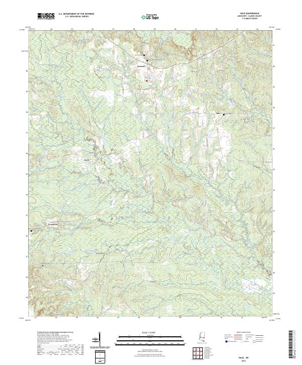
2024 Hale
Clarke County, MS
2024 Sable
Clarke County, MS
2024 Snell
Clarke County, MS
2024 Sykes
Clarke County, MS
2024 Wautubbee
Clarke County, MS