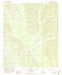
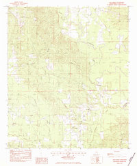
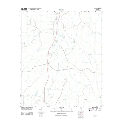
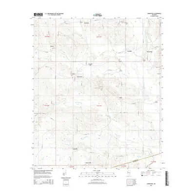
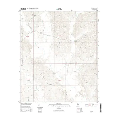
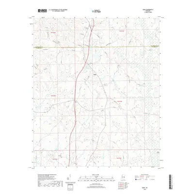
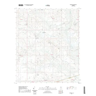
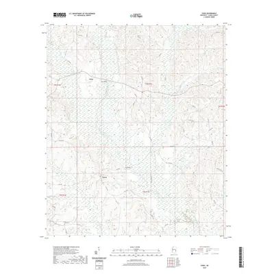
1983 Map of Sable
USGS Topo · Published 1983About this map
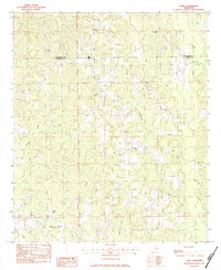
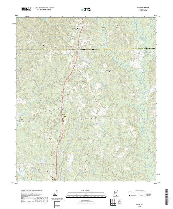
Lauderdale Co Clarke Co marks the northern boundary of this 1983 provisional survey, which illustrates a rural landscape defined by timbered ridges and a network of creeks. Small communities such as Sable and Devoe are the primary hubs, each anchored by local institutions like Devoe Cem and several country churches. The distribution of Spring Hill Ch, Union Hill Ch, and Rolling Creek Ch suggests a pattern of dispersed rural settlements where social life was centered around these religious and social landmarks.
Find a feature on this map
20 named features on this map. Tap any name to fly to it.
Don’t see what you’re looking for? This feature index may not catch every label — zoom into the map to look around manually.
Map Details
Editions of this 1983 Sable Map
This is the sole edition of this map. No revisions or reprints were ever made.
Historical Maps of Sable Through Time
36 maps found
1964 Carmichael
Clarke County, MS
1964 Hale
Clarke County, MS
1983 Sable
Clarke County, MS
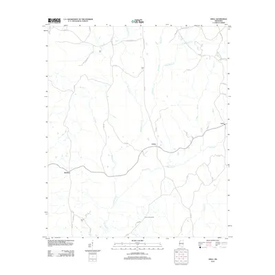
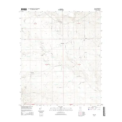
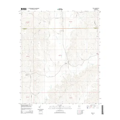
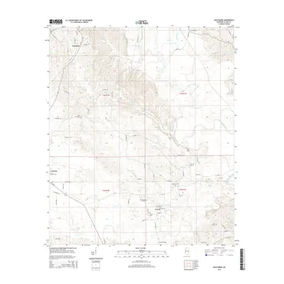
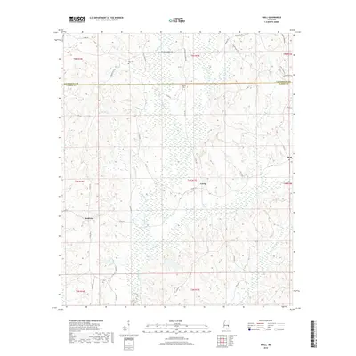
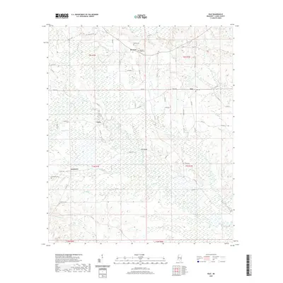
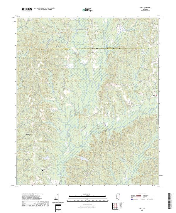
1983 Snell
Clarke County, MS
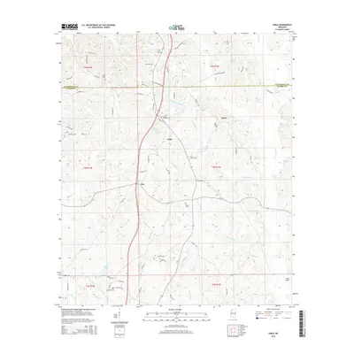
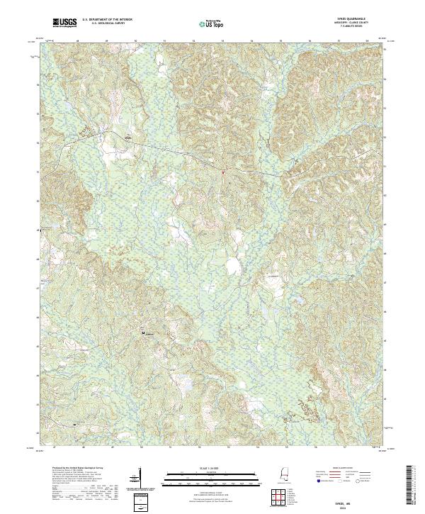
1983 Sykes
Clarke County, MS
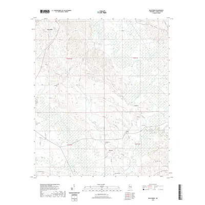
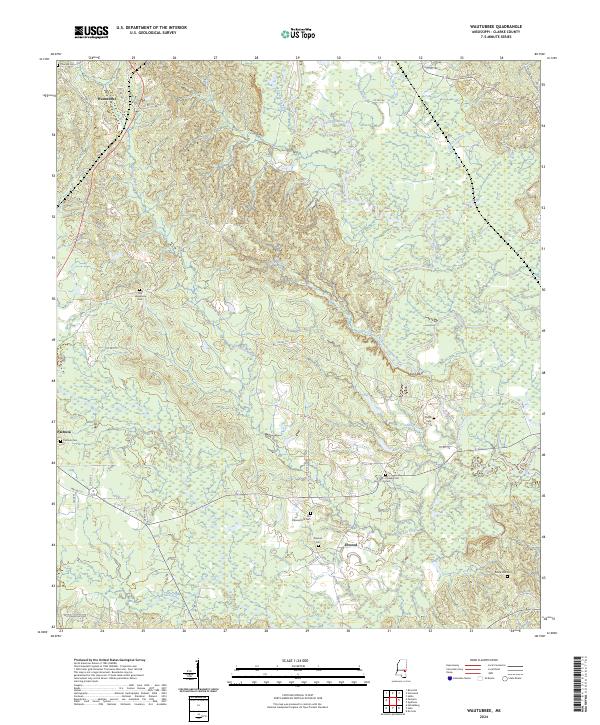
1983 Wautubbee
Clarke County, MS
2012 Carmichael
Clarke County, MS
2012 Hale
Clarke County, MS
2012 Sable
Clarke County, MS
2012 Snell
Clarke County, MS
2012 Sykes
Clarke County, MS
2012 Wautubbee
Clarke County, MS
2015 Carmichael
Clarke County, MS
2015 Hale
Clarke County, MS
2015 Sable
Clarke County, MS
2015 Snell
Clarke County, MS
2015 Sykes
Clarke County, MS
2015 Wautubbee
Clarke County, MS
2018 Carmichael
Clarke County, MS
2018 Hale
Clarke County, MS
2018 Sable
Clarke County, MS
2018 Snell
Clarke County, MS
2018 Sykes
Clarke County, MS
2018 Wautubbee
Clarke County, MS
2020 Carmichael
Clarke County, MS
2020 Hale
Clarke County, MS
2020 Sable
Clarke County, MS
2020 Snell
Clarke County, MS
2020 Sykes
Clarke County, MS
2020 Wautubbee
Clarke County, MS
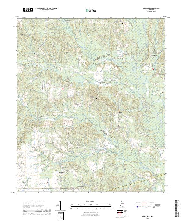
2024 Carmichael
Clarke County, MS
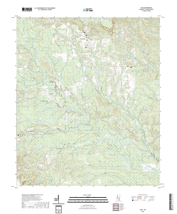
2024 Hale
Clarke County, MS
2024 Sable
Clarke County, MS
2024 Snell
Clarke County, MS
2024 Sykes
Clarke County, MS
2024 Wautubbee
Clarke County, MS