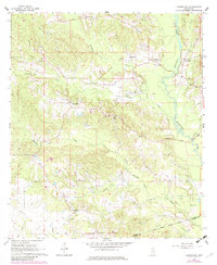
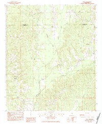
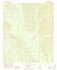
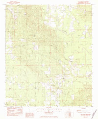
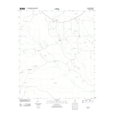
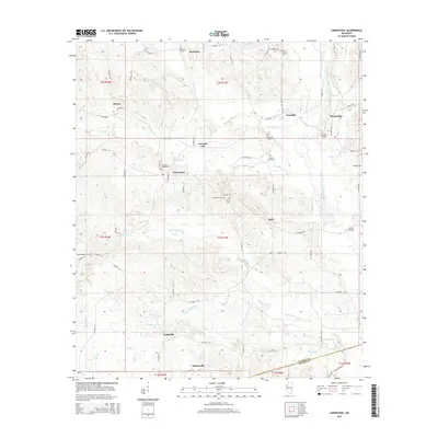
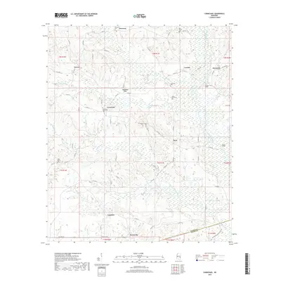
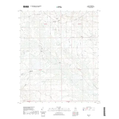
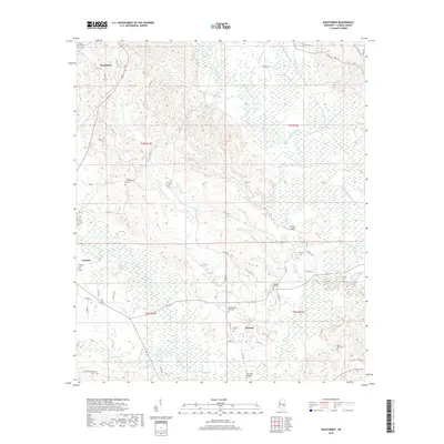
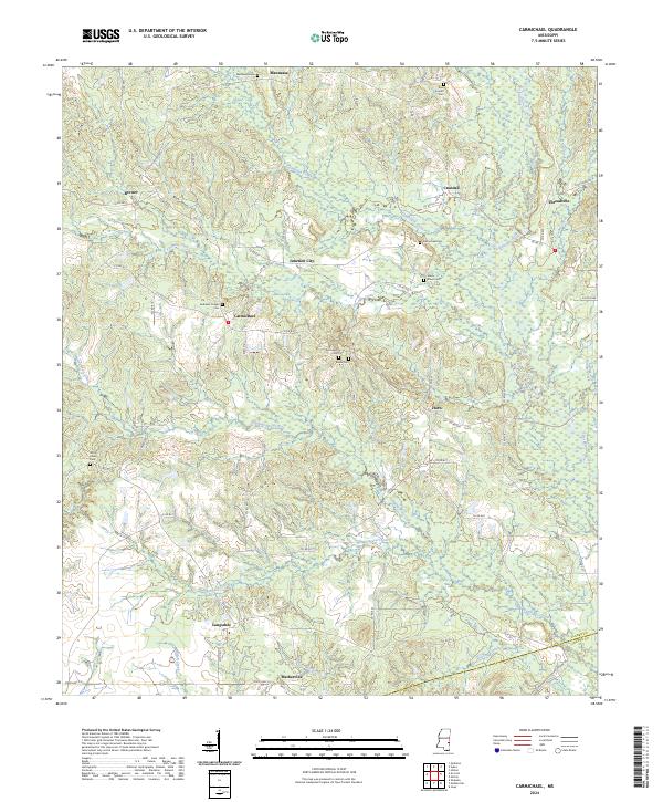
1964 Map of Carmichael
USGS Topo · Published 1982About this map
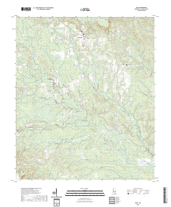
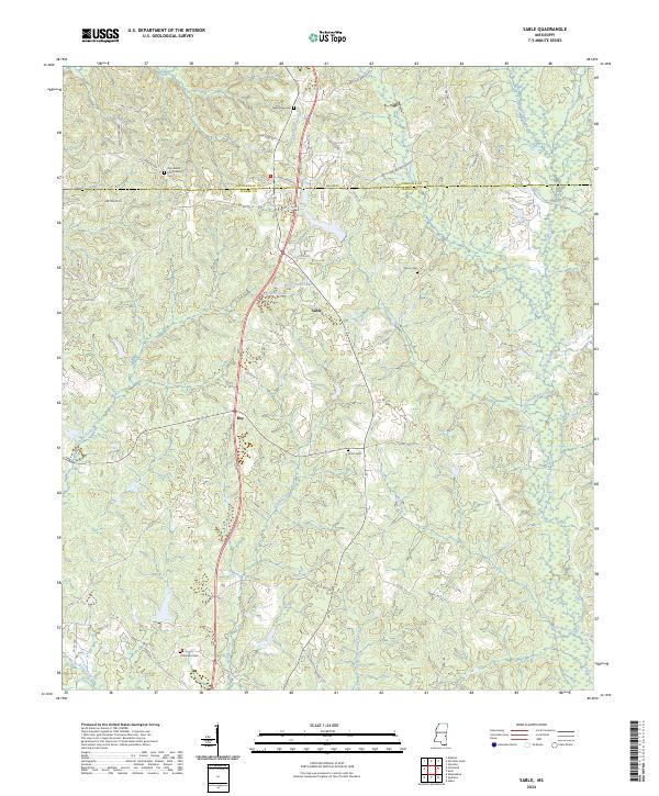
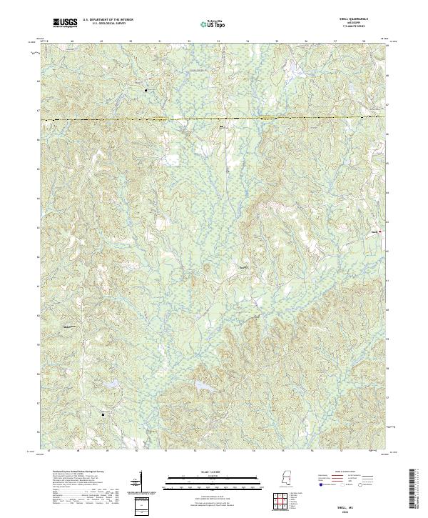
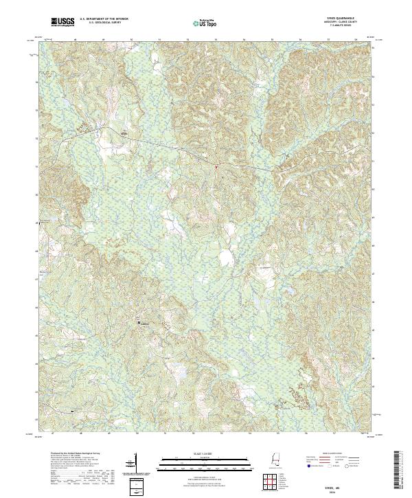
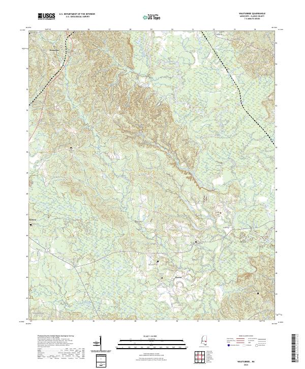
Buckatunna Creek winds through the eastern portion of this landscape, anchoring a rural Mississippi community defined by timber and the energy industry. Small settlements like Mannassa, Crandall, and Matherville are connected by a network of paths and old grades, reflecting a period of active land use and resource extraction. The presence of several Oil Field sites, Oil Wells, and a Drill Hole near Junction City underscores the region's mid-century economic focus.
Find a feature on this map
48 named features on this map. Tap any name to fly to it.
Don’t see what you’re looking for? This feature index may not catch every label — zoom into the map to look around manually.
Map Details
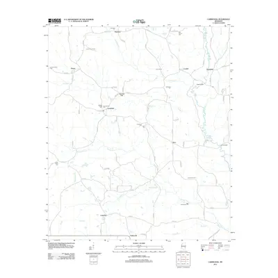
Editions of this 1964 Carmichael Map
2 editions found
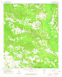
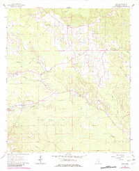
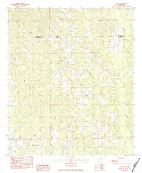
Historical Maps of Matherville Through Time
36 maps found
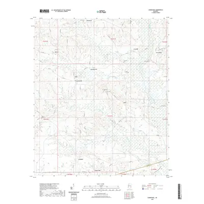
1964 Carmichael
Clarke County, MS
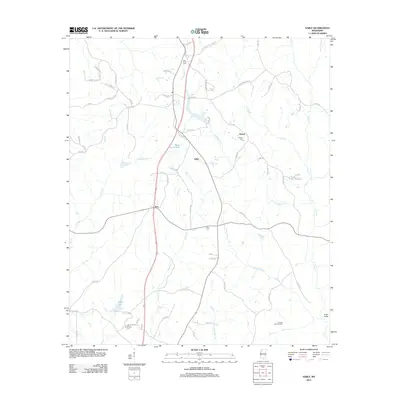
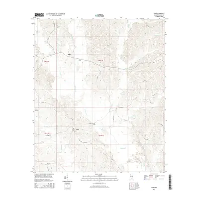
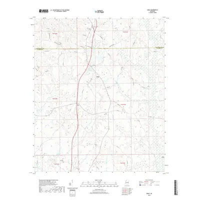
1964 Hale
Clarke County, MS
1983 Sable
Clarke County, MS
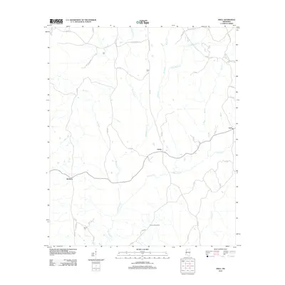
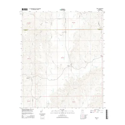
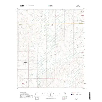
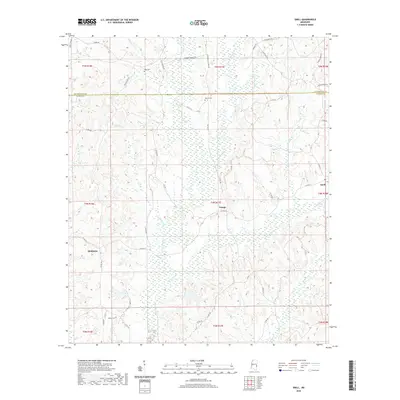
1983 Snell
Clarke County, MS
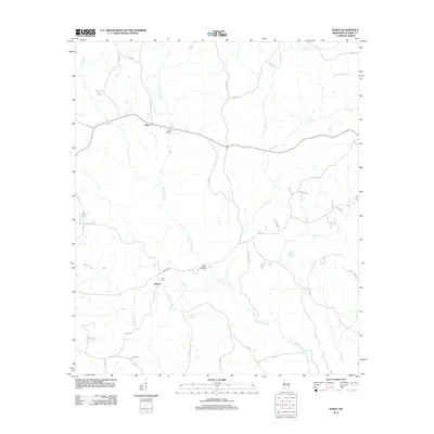
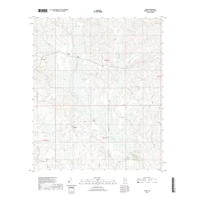
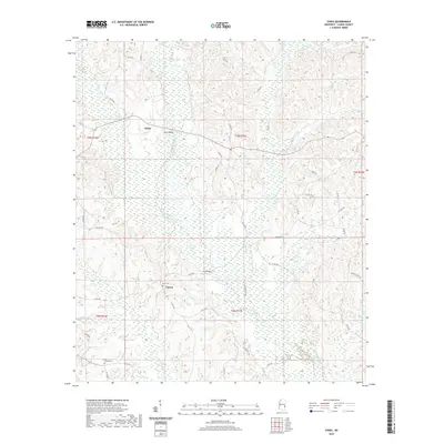
1983 Sykes
Clarke County, MS
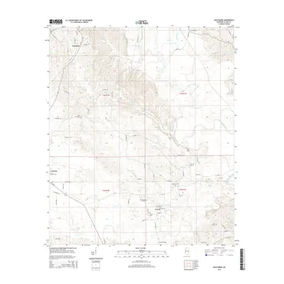
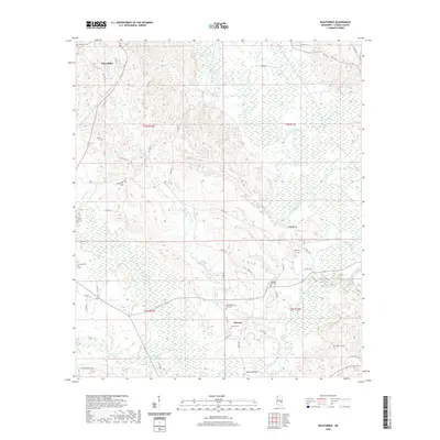
1983 Wautubbee
Clarke County, MS
2012 Carmichael
Clarke County, MS
2012 Hale
Clarke County, MS
2012 Sable
Clarke County, MS
2012 Snell
Clarke County, MS
2012 Sykes
Clarke County, MS
2012 Wautubbee
Clarke County, MS
2015 Carmichael
Clarke County, MS
2015 Hale
Clarke County, MS
2015 Sable
Clarke County, MS
2015 Snell
Clarke County, MS
2015 Sykes
Clarke County, MS
2015 Wautubbee
Clarke County, MS
2018 Carmichael
Clarke County, MS
2018 Hale
Clarke County, MS
2018 Sable
Clarke County, MS
2018 Snell
Clarke County, MS
2018 Sykes
Clarke County, MS
2018 Wautubbee
Clarke County, MS
2020 Carmichael
Clarke County, MS
2020 Hale
Clarke County, MS
2020 Sable
Clarke County, MS
2020 Snell
Clarke County, MS
2020 Sykes
Clarke County, MS
2020 Wautubbee
Clarke County, MS
2024 Carmichael
Clarke County, MS
2024 Hale
Clarke County, MS
2024 Sable
Clarke County, MS
2024 Snell
Clarke County, MS
2024 Sykes
Clarke County, MS
2024 Wautubbee
Clarke County, MS