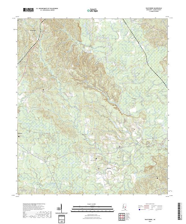
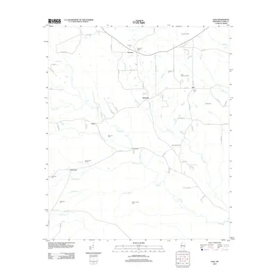
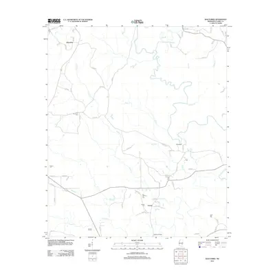
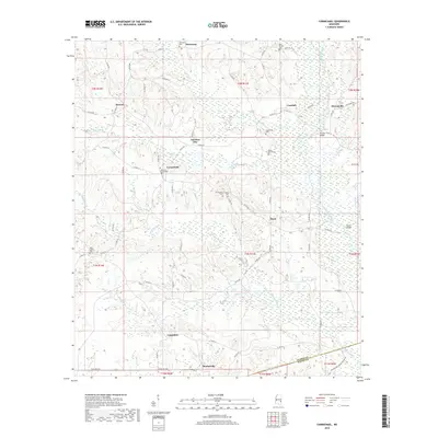
2024 Map of Wautubbee
USGS Topo · Published 2024About this map
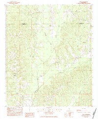
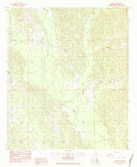
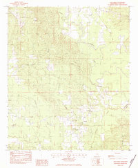
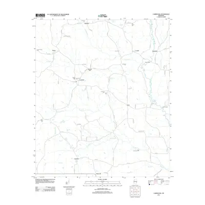
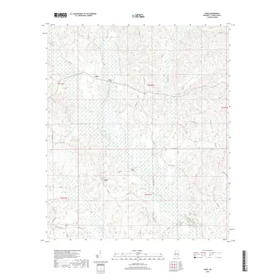
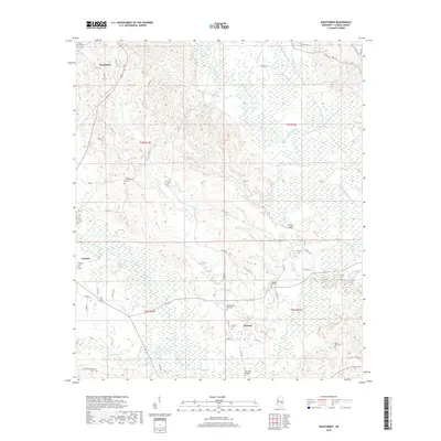
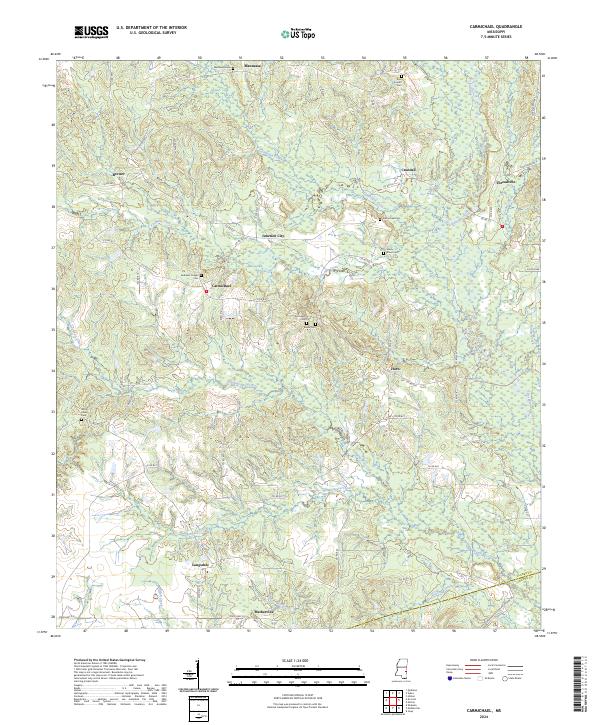
Wautubbee and the neighboring settlements of Pachuta and Elwood anchor this survey of Clarke County, Mississippi. The landscape is defined by the winding course of the Chickasawhay River and its many tributaries, including Gordon Creek, Pachuta Creek, and Shots Creek. For those tracing local families, the map is densely marked with burial grounds such as Old Souenlovie Cem, Pleasant Hill Cem, and King's Cem. The transportation network is built around the Norfolk Southern railway line and several legacy routes like Old Stagecoach Rd, which reflects the area's transition from early frontier paths to modern local connectors. Significant topographical landmarks like King Bluff overlook the river valley, offering a clear view of the drainage patterns and historical land divisions that have shaped this portion of the Piney Woods region.
Find a feature on this map
53 named features on this map. Tap any name to fly to it.
Don’t see what you’re looking for? This feature index may not catch every label — zoom into the map to look around manually.
Map Details
Editions of this 2024 Wautubbee Map
This is the sole edition of this map. No revisions or reprints were ever made.
Historical Maps of Pachuta Through Time
36 maps found
1964 Carmichael
Clarke County, MS
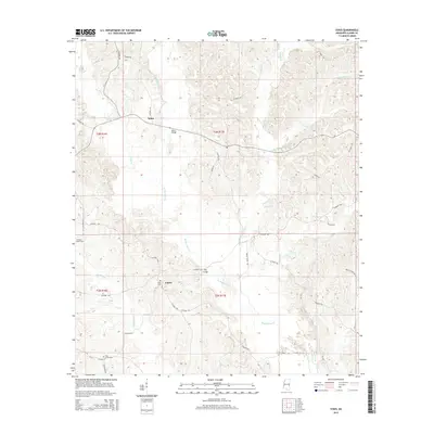
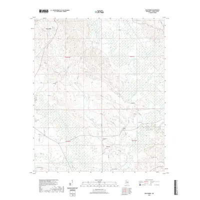
1964 Hale
Clarke County, MS
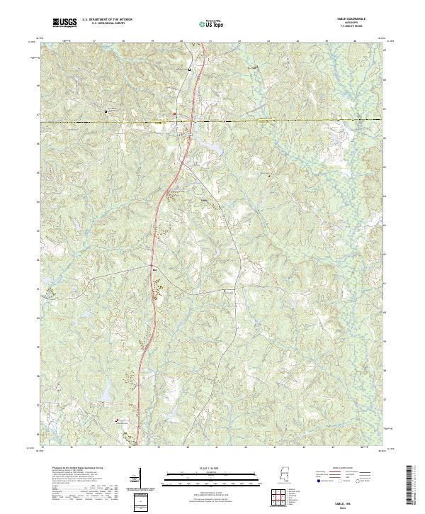
1983 Sable
Clarke County, MS
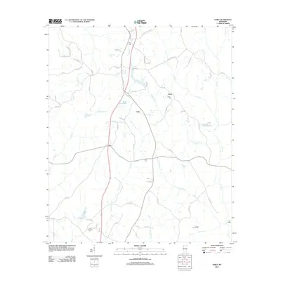
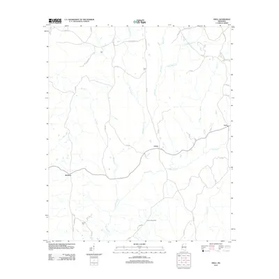
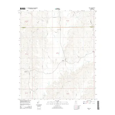
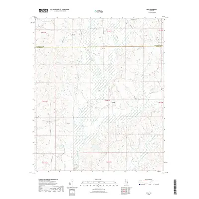
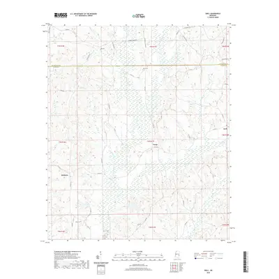
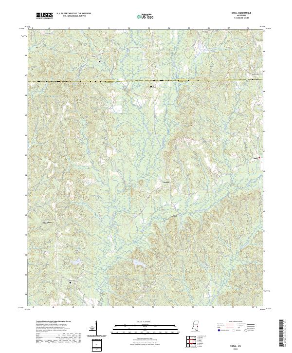
1983 Snell
Clarke County, MS
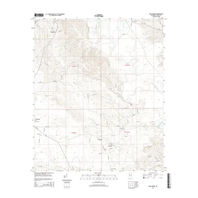
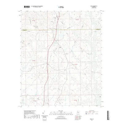
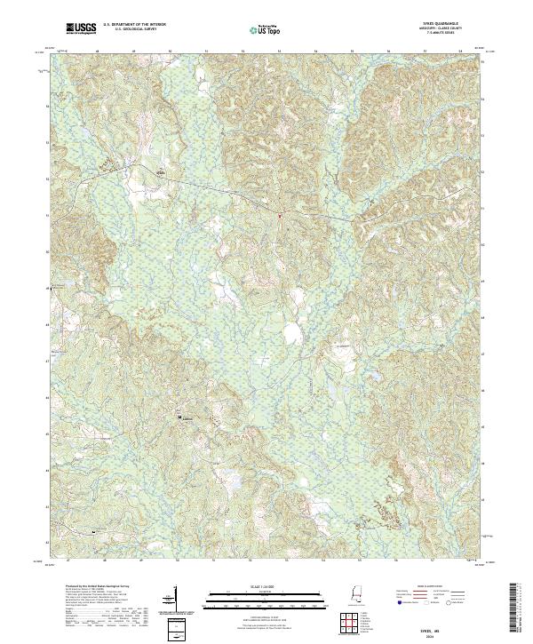
1983 Sykes
Clarke County, MS
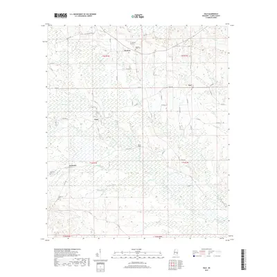
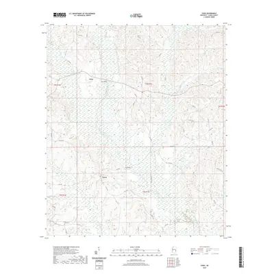
1983 Wautubbee
Clarke County, MS
2012 Carmichael
Clarke County, MS
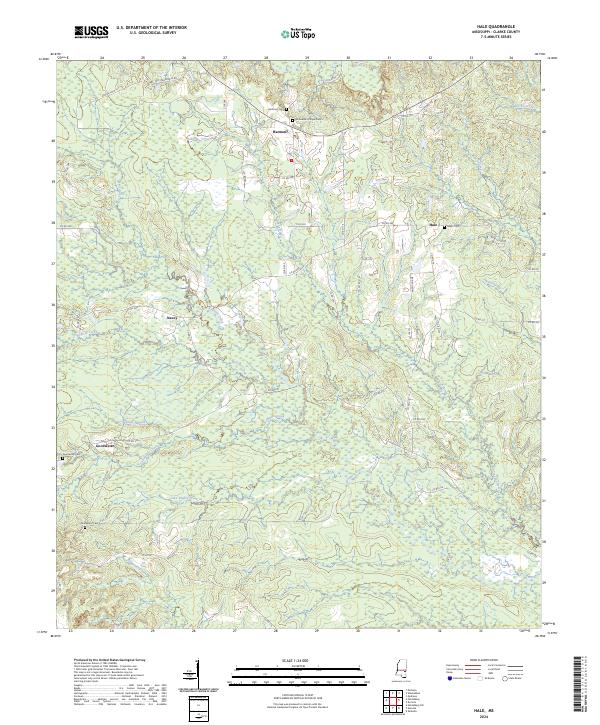
2012 Hale
Clarke County, MS
2012 Sable
Clarke County, MS
2012 Snell
Clarke County, MS
2012 Sykes
Clarke County, MS
2012 Wautubbee
Clarke County, MS
2015 Carmichael
Clarke County, MS
2015 Hale
Clarke County, MS
2015 Sable
Clarke County, MS
2015 Snell
Clarke County, MS
2015 Sykes
Clarke County, MS
2015 Wautubbee
Clarke County, MS
2018 Carmichael
Clarke County, MS
2018 Hale
Clarke County, MS
2018 Sable
Clarke County, MS
2018 Snell
Clarke County, MS
2018 Sykes
Clarke County, MS
2018 Wautubbee
Clarke County, MS
2020 Carmichael
Clarke County, MS
2020 Hale
Clarke County, MS
2020 Sable
Clarke County, MS
2020 Snell
Clarke County, MS
2020 Sykes
Clarke County, MS
2020 Wautubbee
Clarke County, MS
2024 Carmichael
Clarke County, MS
2024 Hale
Clarke County, MS
2024 Sable
Clarke County, MS
2024 Snell
Clarke County, MS
2024 Sykes
Clarke County, MS
2024 Wautubbee
Clarke County, MS