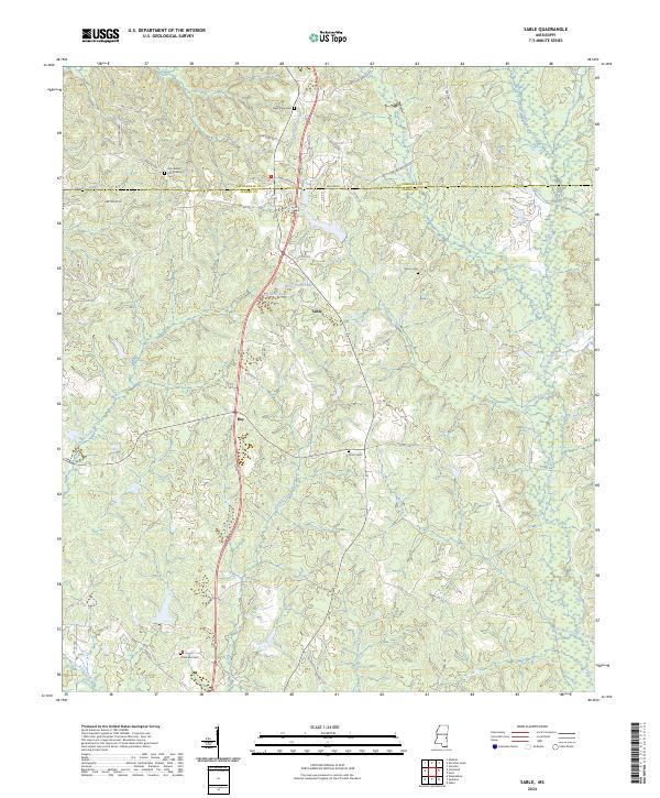
2024 Map of Sable
USGS Topo · Published 2024About this map
The borderlands of Lauderdale and Clarke counties reveal a landscape defined by the winding drainages of Archusa Creek and its many tributaries. This modern survey shows a rural interior where small communities like Sable and Roy serve as anchors for a network of county roads. The terrain is marked by significant topographical features such as Beechwood Ridge, while the local hydrology is dominated by a complex system of creeks including Rolling Creek, Chinquapin Creek, and Moore Mill Creek.
Find a feature on this map
63 named features on this map. Tap any name to fly to it.
Don’t see what you’re looking for? This feature index may not catch every label — zoom into the map to look around manually.
Map Details
Editions of this 2024 Sable Map
This is the sole edition of this map. No revisions or reprints were ever made.
Other maps of this area

1921 · Meridian
USGS Topo · 1:48,000

1923 · Meridian
USGS Topo · 1:62,500

1953 · Meridian
USGS Topo · 1:250,000

1957 · Meridian
USGS Topo · 1:250,000

1957 · Chunky
USGS Topo · 1:62,500

1957 · Quitman
USGS Topo · 1:62,500

1957 · Enterprise
USGS Topo · 1:62,500

1965 · Meridian
USGS Topo · 1:250,000

1971 · Vimville
USGS Topo · 1:24,000

1971 · Meridian South
USGS Topo · 1:24,000