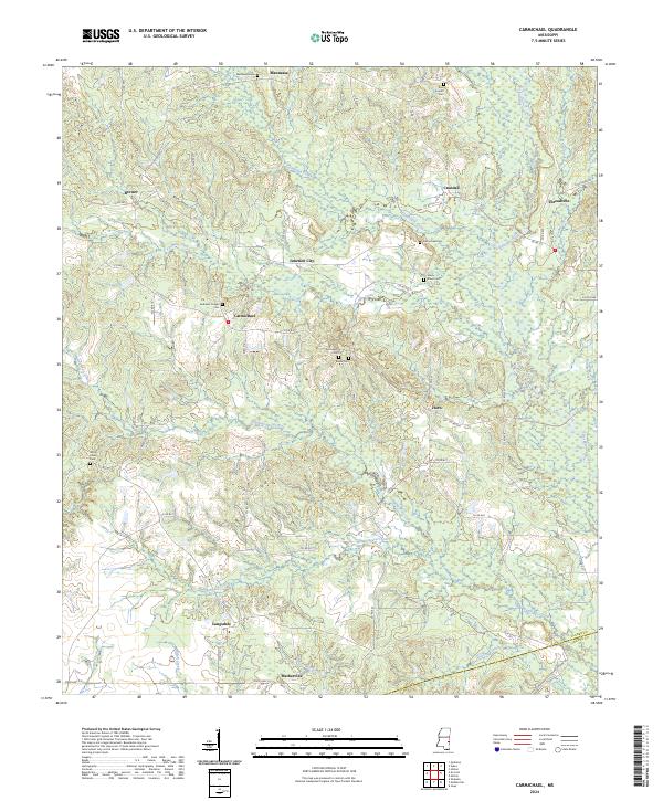
2024 Map of Carmichael
USGS Topo · Published 2024This historical map portrays the area of Carmichael in 2024, primarily covering Clarke County as well as portions of Wayne County. Featuring a scale of 1:24000, this map provides a highly detailed snapshot of the terrain, roads, buildings, counties, and historical landmarks in the Carmichael region at the time. Published in 2024, it is the sole known edition of this map.
Map Details
Editions of this 2024 Carmichael Map
This is the sole edition of this map. No revisions or reprints were ever made.
Historical Maps of Brewer Through Time
12 maps found
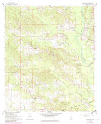
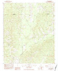
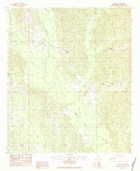
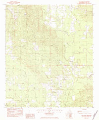
1964 Carmichael
Clarke County, MS
1964 Hale
Clarke County, MS
1983 Sable
Clarke County, MS
1983 Snell
Clarke County, MS
1983 Sykes
Clarke County, MS
1983 Wautubbee
Clarke County, MS
2024 Carmichael
Clarke County, MS
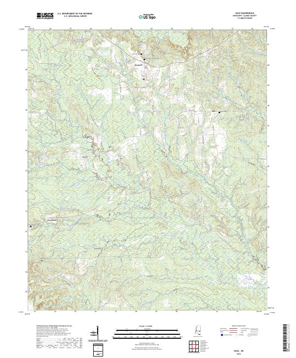
2024 Hale
Clarke County, MS
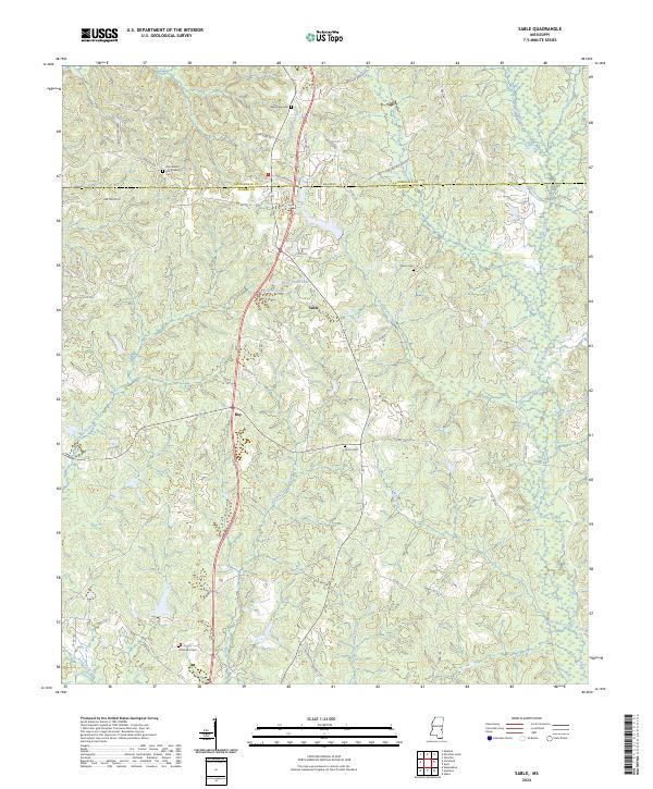
2024 Sable
Clarke County, MS
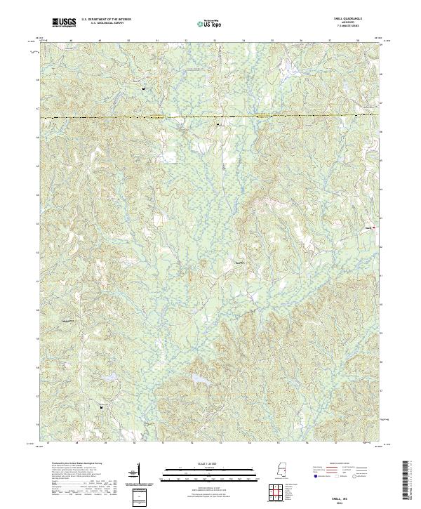
2024 Snell
Clarke County, MS
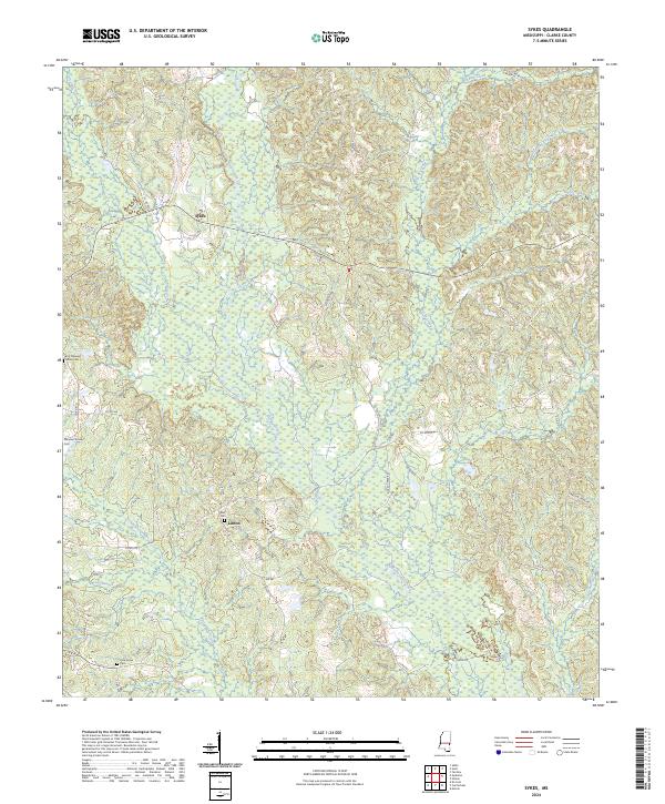
2024 Sykes
Clarke County, MS
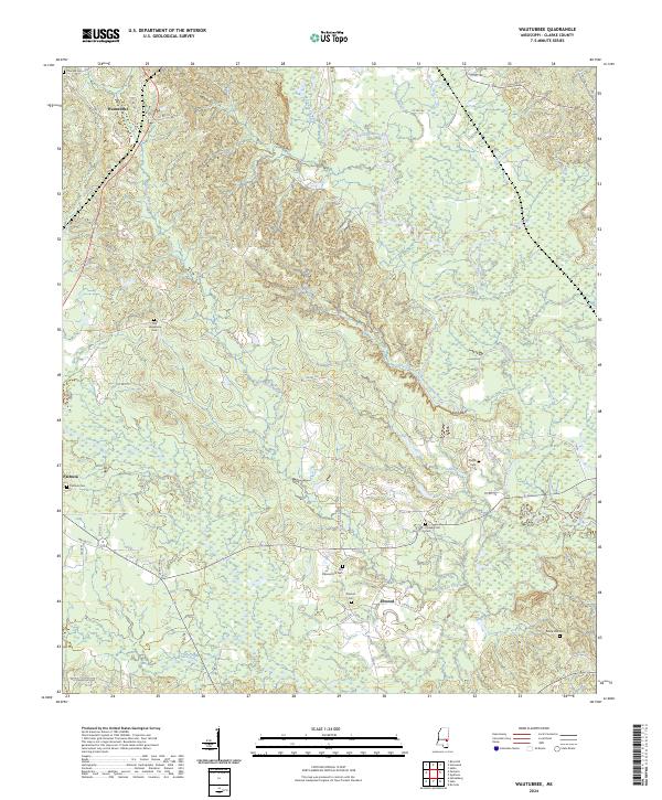
2024 Wautubbee
Clarke County, MS