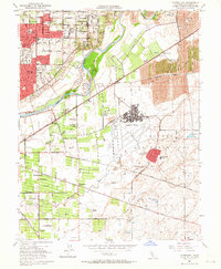
1954 Map of Carmichael
USGS Topo · Published 1964About this map
The American River corridor dominates this mid-century survey, revealing a landscape defined by military infrastructure and post-war residential expansion. At the heart of the area lies Mather Air Force Base, with its extensive Mather Field runway systems and the Mather Field Housing Authority complex. To the north, the growing community of Carmichael is densely gridded with schools like El Camino High Sch and Orville Wright School, while the eastern portion of the map showcases the environmental legacy of the Gold Rush through massive tracts of Dredge Tailings along the San Juan boundary.
Find a feature on this map
66 named features on this map. Tap any name to fly to it.
Don’t see what you’re looking for? This feature index may not catch every label — zoom into the map to look around manually.
Map Details
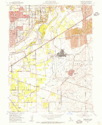
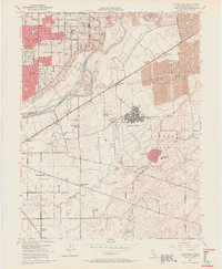
Editions of this 1954 Carmichael Map
3 editions found
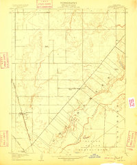
Other maps of this area

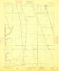
1891 · Sacramento
USGS Topo · 1:125,000

1892 · Sacramento
USGS Topo · 1:125,000

1893 · Sacramento
USGS Topo · 1:125,000

1894 · Lodi
USGS Topo · 1:125,000

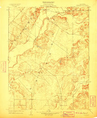
1902 · Fairoaks
USGS Topo · 1:62,500

1908 · Buffalo Creek
USGS Topo · 1:31,680
1909 · Elk Grove
USGS Topo · 1:31,680
1909 · Cosumnes
USGS Topo · 1:31,680
1909 · Florin
USGS Topo · 1:31,680

1911 · Brighton
USGS Topo · 1:31,680