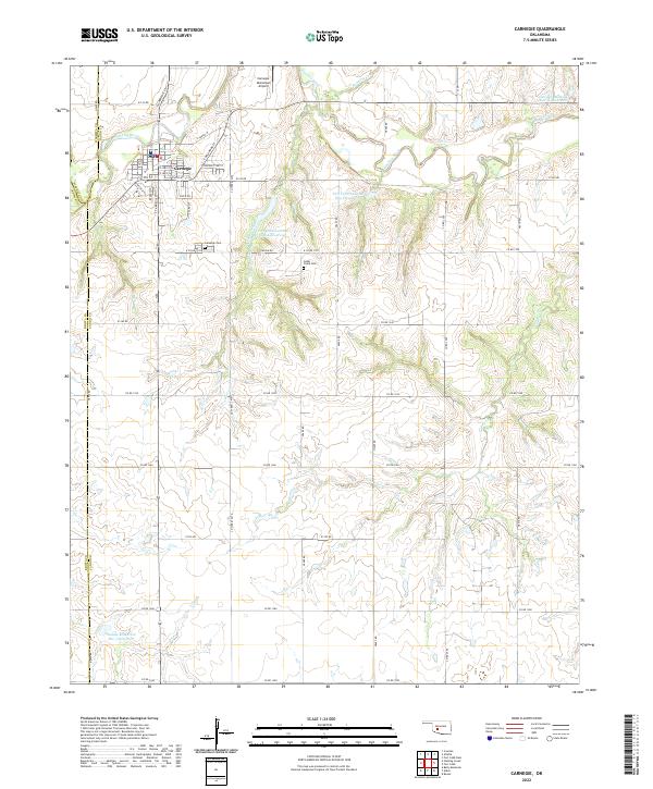
2022 Map of Carnegie
USGS Topo · Published 2022About this map
Carnegie serves as the primary hub in this Caddo County landscape, positioned along the southern banks of the Washita River. The town's grid is well-defined, featuring streets like Broadway and S Carnegie St, while the Carnegie Municipal Airport sits just to the north. This region is characterized by a managed water system, evidenced by numerous infrastructure projects such as the Fort Cobb Laterals Site 1 Reservoir and Saddle Mountain Site 3 Reservoir. Local history is anchored by the Carnegie Cem and Cedar Creek Cem, which provide vital touchpoints for genealogical research. The surrounding terrain is drained by several waterways, including Cedar Creek, Gokey Cr, and Running Cr, which weave through the agricultural sections defined by a systematic road network of routes like E1310 Rd.
Find a feature on this map
56 named features on this map. Tap any name to fly to it.
Don’t see what you’re looking for? This feature index may not catch every label — zoom into the map to look around manually.
Map Details
Editions of this 2022 Carnegie Map
This is the sole edition of this map. No revisions or reprints were ever made.
Other maps of this area

1950 · Saddle Mountain
USGS Topo · 1:62,500

1951 · Fort Cobb
USGS Topo · 1:62,500

1955 · Lawton
USGS Topo · 1:250,000

1955 · Clinton
USGS Topo · 1:250,000

1956 · Alden
USGS Topo · 1:24,000

1956 · Boone
USGS Topo · 1:24,000

1956 · Bally Mountain
USGS Topo · 1:24,000

1956 · Apache
USGS Topo · 1:62,500

1956 · Saddle Mountain
USGS Topo · 1:62,500

1957 · Clinton
USGS Topo · 1:250,000