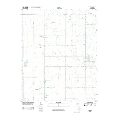
2010 Map of Carney
USGS Topo · Published 2010About this map
The town of Carney and its surrounding rural landscapes are detailed in this 2010 study of central Lincoln County. The map reveals a land defined by its creek systems and numerous small reservoirs, including the Oknoname 08113 Reservoir and Bear Fall Coon Creek Site 3r Reservoir. This period shows a mature layout of section-line roads, such as Cox RD and e0840 RD, which connect small outlying settlements like Dudley, Emsey, and Belton. The importance of local heritage is evident in the preservation of several rural burial grounds, ranging from Bethlehem Cemetery in the south to Pollick Cemetery at the northern boundary. The inclusion of Ives Airport and a network of Oil Field RD labels highlights the regional infrastructure and the intersection of local aviation and energy sectors within this agrarian landscape.
Find a feature on this map
34 named features on this map. Tap any name to fly to it.
Don’t see what you’re looking for? This feature index may not catch every label — zoom into the map to look around manually.
Map Details
Editions of this 2010 Carney Map
This is the sole edition of this map. No revisions or reprints were ever made.
Other maps of this area

1905 · Chandler
USGS Topo · 1:62,500

1907 · Chandler
USGS Topo · 1:62,500

1908 · Agra
USGS Topo · 1:62,500

1909 · Luther
USGS Topo · 1:62,500

1909 · Perkins
USGS Topo · 1:62,500

1954 · Oklahoma City
USGS Topo · 1:250,000

1957 · Oklahoma City
USGS Topo · 1:250,000

1963 · Oklahoma City
USGS Topo · 1:250,000
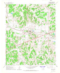
1966 · Wellston
USGS Topo · 1:24,000
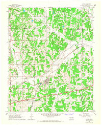
1966 · Luther
USGS Topo · 1:24,000