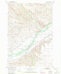
1951 Map of Carney
USGS Topo · Published 1981About this map
The Yellowstone River cuts a prominent diagonal through this Sweet Grass County landscape, serving as the central artery for a ranching and transport corridor. In the early 1950s, the valley's agricultural productivity was sustained by a complex irrigation network including the Mayborn Ditch, Westfall Ditch, and Kellogg DITCH, which diverted water to the surrounding fields. The settlement of Carney and the presence of the Carney School and Bridge School reflect a community organized around the river and the Burlington Northern railroad line. To the east, the level terrain of Airport Flats contrasts with the broken coulees and drainages of Little Timber Creek and Whitetail Creek to the north. Smaller family operations like the Beley Ranch and Yost Ranch are noted, alongside the Hot Springs near Shed Creek, illustrating the intersection of natural resources and early Montana settlement patterns.
Find a feature on this map
26 named features on this map. Tap any name to fly to it.
Don’t see what you’re looking for? This feature index may not catch every label — zoom into the map to look around manually.
Map Details
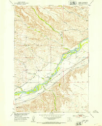
Editions of this 1951 Carney Map
2 editions found
Other maps of this area

1891 · Livingston
USGS Topo · 1:250,000

1891 · Big Timber
USGS Topo · 1:125,000

1893 · Livingston
USGS Topo · 1:250,000

1893 · Big Timber
USGS Topo · 1:125,000

1947 · Bozeman
USGS Topo · 1:250,000

1948 · Bozeman
USGS Topo · 1:250,000
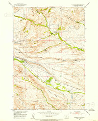
1951 · Grosfield Ranch
USGS Topo · 1:24,000
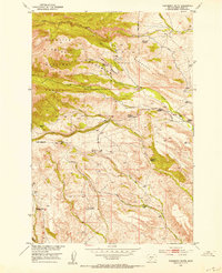
1951 · Raspberry Butte
USGS Topo · 1:24,000

1951 · Kelly Hills
USGS Topo · 1:24,000

1951 · Springdale
USGS Topo · 1:24,000