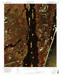
1980 Map of Carolina Beach
USGS Topo · Published 1985About this map
Cape Fear River dominates this color infrared orthophotograph, serving as the central divide between the mainland and the coastal barrier island. This 1980 perspective highlights the strategic importance of Snows Cut, a man-made waterway that links the river to the protected sounds. The infrared imagery reveals a landscape of stark contrasts: the deep waters of the river and Atlantic Ocean appear nearly black, while the coastal forests and swamps around Big Bay and Orton Pond are captured in vibrant rust and crimson tones.
Find a feature on this map
19 named features on this map. Tap any name to fly to it.
Don’t see what you’re looking for? This feature index may not catch every label — zoom into the map to look around manually.
Map Details
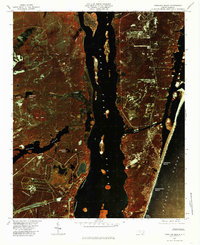
Editions of this 1980 Carolina Beach Map
2 editions found
Other maps of this area

1942 · Wilmington
USGS Topo · 1:62,500

1943 · Funston
USGS Topo · 1:24,000

1943 · Winnabow
USGS Topo · 1:24,000

1944 · Winnabow
USGS Topo · 1:31,680

1946 · Southport
USGS Topo · 1:24,000

1946 · Snow Marsh
USGS Topo · 1:24,000

1948 · Wilmington
USGS Topo · 1:62,500

1949 · Georgetown
USGS Topo · 1:250,000

1950 · Winnabow
USGS Topo · 1:25,000

1953 · Florence
USGS Topo · 1:250,000