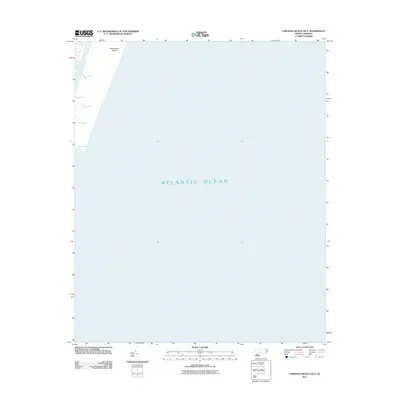
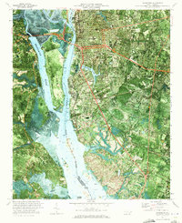
2011 Map of Carolina Beach OE E
USGS Topo · Published 2011About this map
Masonboro Island and the adjacent coastal waters define this maritime landscape along the North Carolina shore. The map centers on the vast expanse of the Atlantic Ocean, providing a detailed view of the barrier island dynamics and tidal waterways just north of Carolina Beach. On the landward side of the island, the sheltered waters of Myrtle Grove Sound and Dick Bay illustrate the complex estuarine environment typical of this region. The Carolina Beach Inlet serves as the primary passage between these protected sounds and the open sea, marking a critical point of exchange for local tides and vessel traffic.
Find a feature on this map
5 named features on this map. Tap any name to fly to it.
Don’t see what you’re looking for? This feature index may not catch every label — zoom into the map to look around manually.
Map Details
Editions of this 2011 Carolina Beach OE E Map
This is the sole edition of this map. No revisions or reprints were ever made.
Other maps of this area

1942 · Wilmington
USGS Topo · 1:62,500

1946 · Snow Marsh
USGS Topo · 1:24,000

1948 · Wilmington
USGS Topo · 1:62,500

1953 · Beaufort
USGS Topo · 1:250,000

1954 · Beaufort
USGS Topo · 1:250,000
1970 · Kure Beach
USGS Topo · 1:24,000
1970 · Wrightsville Beach
USGS Topo · 1:24,000
1970 · Carolina Beach
USGS Topo · 1:24,000
1970 · Wilmington
USGS Topo · 1:24,000

1972 · Beaufort
USGS Topo · 1:250,000