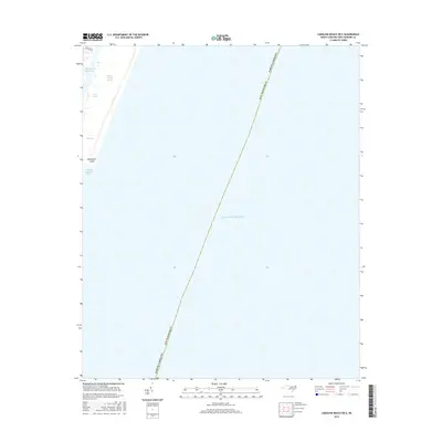
2016 Map of Carolina Beach OE E
USGS Topo · Published 2016About this map
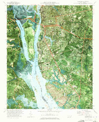
Masonboro Island and the coastal waters of New Hanover County dominate this 2016 survey, which documents the shoreline interface between the Atlantic Ocean and the inner sounds. This maritime landscape is defined by the Intracoastal Waterway and the narrow passages of Carolina Beach Inlet and Dick Bay. The map provides a precise record of the barrier island's configuration and the salt marshes of Myrtle Grove Sound. While the majority of the area is water and protected terrain, the northern edge includes the residential reach of Shannon Dr, marking the limit of coastal development. Smaller hydrological features like John Creek underscore the complex drainage patterns of the coastal plain, essential for understanding the environmental and navigational history of the North Carolina coast.
Find a feature on this map
9 named features on this map. Tap any name to fly to it.
Don’t see what you’re looking for? This feature index may not catch every label — zoom into the map to look around manually.
Map Details
Editions of this 2016 Carolina Beach OE E Map
This is the sole edition of this map. No revisions or reprints were ever made.
Other maps of this area

1942 · Wilmington
USGS Topo · 1:62,500

1946 · Snow Marsh
USGS Topo · 1:24,000

1948 · Wilmington
USGS Topo · 1:62,500

1953 · Beaufort
USGS Topo · 1:250,000

1954 · Beaufort
USGS Topo · 1:250,000
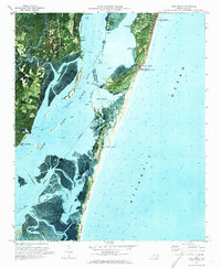
1970 · Kure Beach
USGS Topo · 1:24,000
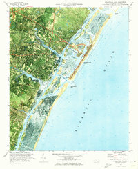
1970 · Wrightsville Beach
USGS Topo · 1:24,000
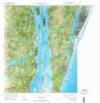
1970 · Carolina Beach
USGS Topo · 1:24,000
1970 · Wilmington
USGS Topo · 1:24,000

1972 · Beaufort
USGS Topo · 1:250,000