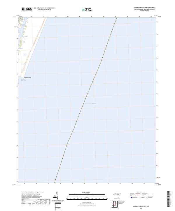
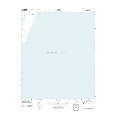
2022 Map of Carolina Beach OE E
USGS Topo · Published 2022About this map
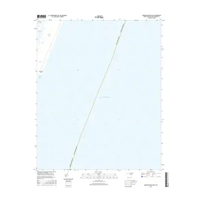
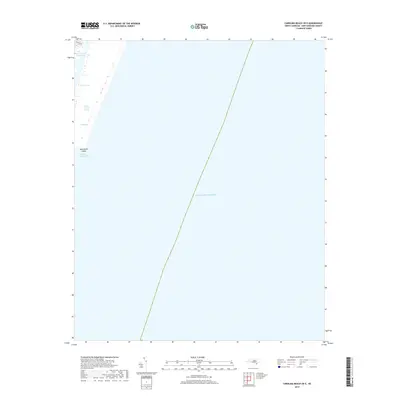
Masonboro Island and the shifting barrier island landscape south of Wilmington define this 2022 survey. This offshore perspective focuses heavily on the maritime boundary between the Atlantic Ocean and the intricate network of tidal waters that characterize the New Hanover coastline. The Intracoastal Waterway serves as the primary artery for navigation, buffered by the natural protection of Myrtle Grove Sound and Dick Bay.
Find a feature on this map
8 named features on this map. Tap any name to fly to it.
Don’t see what you’re looking for? This feature index may not catch every label — zoom into the map to look around manually.
Map Details
Editions of this 2022 Carolina Beach OE E Map
This is the sole edition of this map. No revisions or reprints were ever made.
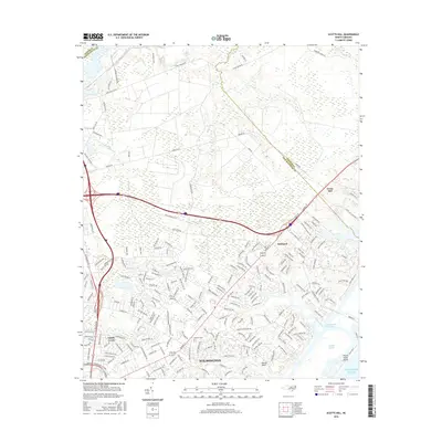
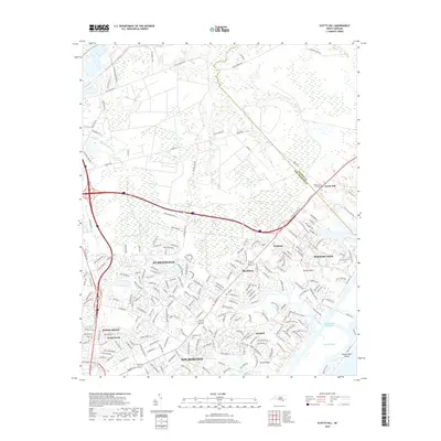
Historical Maps of New Hanover County Through Time
14 maps found
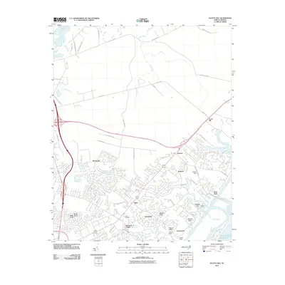
1970 Scotts Hill
New Hanover County, NC

1980 East Of Carolina Beach
New Hanover County, NC
1980 Scotts Hill
New Hanover County, NC
1997 Scotts Hill
New Hanover County, NC
2010 Scotts Hill
New Hanover County, NC
2011 Carolina Beach OE E
New Hanover County, NC
2013 Carolina Beach OE E
New Hanover County, NC
2013 Scotts Hill
New Hanover County, NC
2016 Carolina Beach OE E
New Hanover County, NC
2016 Scotts Hill
New Hanover County, NC
2019 Carolina Beach OE E
New Hanover County, NC
2019 Scotts Hill
New Hanover County, NC
2022 Carolina Beach OE E
New Hanover County, NC
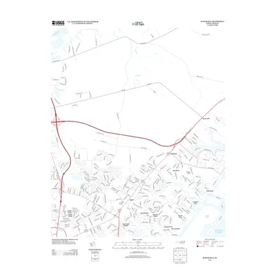
2022 Scotts Hill
New Hanover County, NC