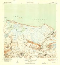
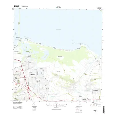
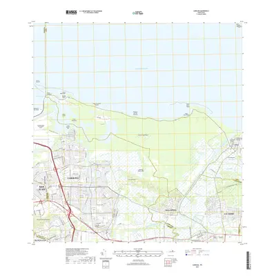
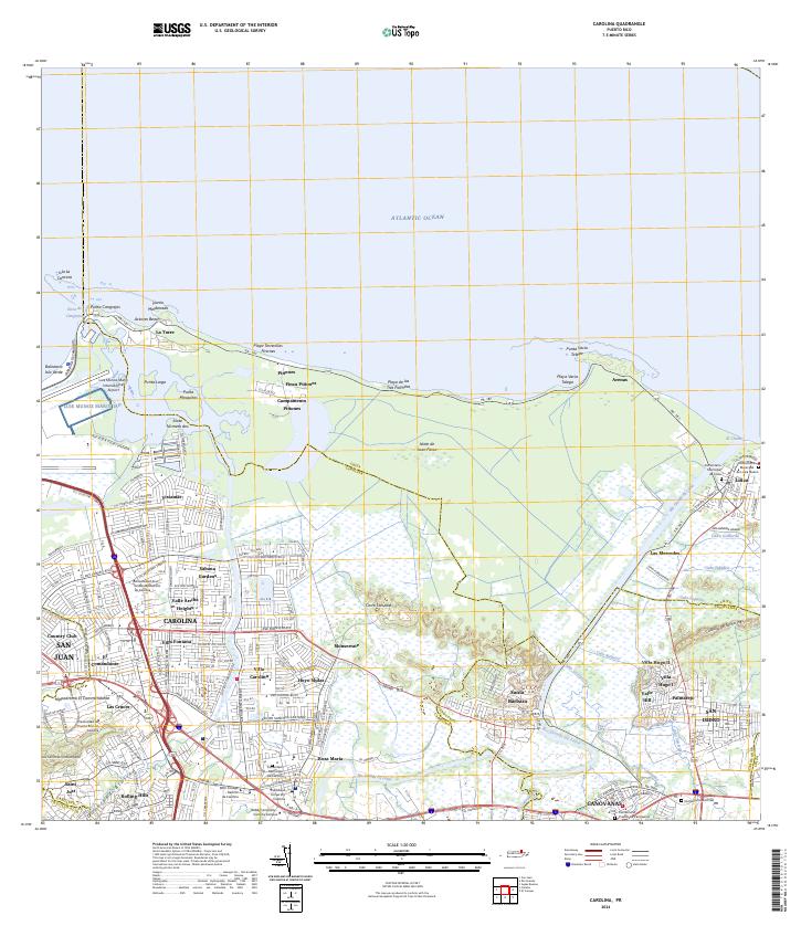
1947 Map of Carolina
USGS Topo · Published 1950About this map
The coastal marshlands and sugar-producing regions of the Municipio de Carolina are documented in this mid-century survey, shortly after the 1949 revision. The landscape is defined by the expansive Bosque Insular de Piñones and the transition from the coastal Océano Atlántico to the fertile inland plains. Industrial activity centers on the sugar mills, specifically Central Victoria and Central Canóvanas, which anchored the local economy through a network of company colonias such as Colonia Monserrate and Colonia Santa Barbara.
Find a feature on this map
73 named features on this map. Tap any name to fly to it.
Don’t see what you’re looking for? This feature index may not catch every label — zoom into the map to look around manually.
Map Details
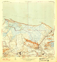
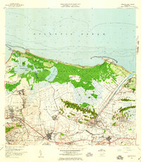
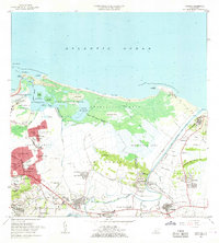
Editions of this 1947 Carolina Map
3 editions found

Historical Maps of Carolina Through Time
9 maps found

1940 Carolina
Carolina Municipio, PR

1941 Carolina
Carolina Municipio, PR
1947 Carolina
Carolina Municipio, PR
1957 Carolina
Carolina Municipio, PR
1963 Carolina
Carolina Municipio, PR

1969 Carolina
Carolina Municipio, PR
2013 Carolina
Carolina Municipio, PR
2018 Carolina
Carolina Municipio, PR
2024 Carolina
Carolina Municipio, PR