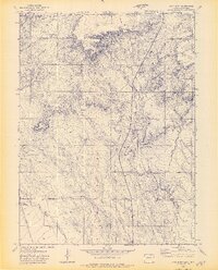
1972 Map of Carr East
USGS Topo · Published 1974About this map
Carr and the surrounding high plains of Weld County sit at the intersection of early transportation and livestock ranching during the early 1970s. The Union Pacific Railroad cuts through the western edge of the territory, a vital corridor that historically shaped the settlement patterns of this border region. The landscape is defined by the high elevations of Simpson Mesa and a sophisticated network of water infrastructure essential for prairie life. Numerous family-named landmarks, such as Stephens Windmill, Davis Windmill, and the Schnoor Windmills, are documented across the terrain, illustrating the reliance on groundwater for the local ranching economy. Watercourses like Lone Tree Creek and Little Owl Creek provide natural drainage through the undulating hills, while several pipelines crossing the area signal the expansion of modern industrial infrastructure alongside traditional land uses.
Find a feature on this map
18 named features on this map. Tap any name to fly to it.
Don’t see what you’re looking for? This feature index may not catch every label — zoom into the map to look around manually.
Map Details
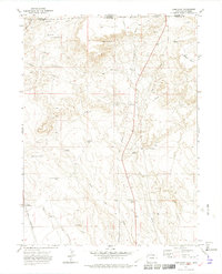
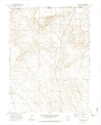
Editions of this 1972 Carr East Map
3 editions found
Other maps of this area

1908 · Eaton
USGS Topo · 1:125,000

1910 · Eaton
USGS Topo · 1:125,000

1911 · Cheyenne
USGS Topo · 1:125,000

1914 · Cheyenne
USGS Topo · 1:125,000

1950 · Cheyenne
USGS Topo · 1:62,500

1954 · Cheyenne
USGS Topo · 1:250,000

1954 · Greeley
USGS Topo · 1:250,000

1957 · Greeley
USGS Topo · 1:250,000

1958 · Cheyenne
USGS Topo · 1:250,000

1958 · Greeley
USGS Topo · 1:250,000