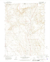
1972 Map of Carr East
USGS Topo · Published 1975About this map
Rockport and Carr sit within this high plains landscape along the Colorado-Wyoming border in the early 1970s. The region is defined by a series of drainage systems, including Lone Tree Creek, Little Owl Creek, and Owl Creek, which cut through the terrain below Simpson Mesa. The Union Pacific Railroad runs along the western edge, providing a crucial transportation corridor that historically shaped the placement of these small settlements.
Find a feature on this map
26 named features on this map. Tap any name to fly to it.
Don’t see what you’re looking for? This feature index may not catch every label — zoom into the map to look around manually.
Map Details
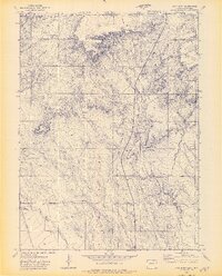
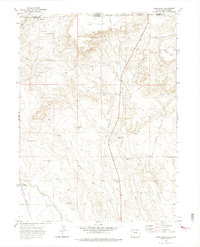
Editions of this 1972 Carr East Map
3 editions found
Other maps of this area

1908 · Eaton
USGS Topo · 1:125,000

1910 · Eaton
USGS Topo · 1:125,000

1911 · Cheyenne
USGS Topo · 1:125,000

1914 · Cheyenne
USGS Topo · 1:125,000

1950 · Cheyenne
USGS Topo · 1:62,500

1954 · Cheyenne
USGS Topo · 1:250,000

1954 · Greeley
USGS Topo · 1:250,000

1957 · Greeley
USGS Topo · 1:250,000

1958 · Cheyenne
USGS Topo · 1:250,000

1958 · Greeley
USGS Topo · 1:250,000