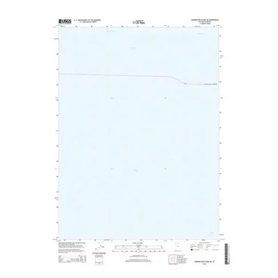
2014 Map of Carrington Island NE
USGS Topo · Published 2014About this map
The Great Salt Lake dominates this 2014 survey, illustrating the stark aquatic geography of Box Elder County. The most prominent human intervention is the Southern Pacific Causeway, which cuts a straight line east to west across the northern portion of the sheet. This massive infrastructure project creates a distinct hydrologic division between the hypersaline waters of Gunnison Bay to the north and the relatively less saline Gilbert Bay to the south. A single Bridge is noted along the causeway, facilitating limited movement between these two distinct sections of the lake. The map also identifies the Ship Channel, a critical navigation feature within this expansive inland sea, highlighting the intersection of industrial transport and the natural environment of northern Utah.
Find a feature on this map
7 named features on this map. Tap any name to fly to it.
Don’t see what you’re looking for? This feature index may not catch every label — zoom into the map to look around manually.
Map Details
Editions of this 2014 Carrington Island NE Map
This is the sole edition of this map. No revisions or reprints were ever made.
Other maps of this area

1954 · Brigham City
USGS Topo · 1:250,000

1958 · Brigham City
USGS Topo · 1:250,000

1962 · Brigham City
USGS Topo · 1:250,000

1968 · Indian Cove
USGS Topo · 1:24,000

1968 · Pokes Point
USGS Topo · 1:24,000

1968 · Promontory Point
USGS Topo · 1:24,000

1968 · Carrington Island SW
USGS Topo · 1:24,000

1968 · Fremont Island SW
USGS Topo · 1:24,000

1968 · Carrington Island
USGS Topo · 1:24,000

1969 · Rozel Point SW
USGS Topo · 1:24,000