
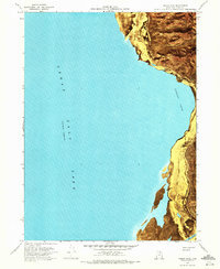
1968 Map of Indian Cove
USGS Topo · Published 1970About this map
The eastern shore of the Great Salt Lake is dominated by the steep rise of the Promontory Mountains in this late 1960s survey. The landscape is a stark study in the fluctuating shoreline of the lake, where extensive Mud Flats separate the open water of Indian Cove from the rugged interior peaks. Sounding data, provided by the U.S. Naval Reserve, reveals the underwater topography including the Ship Channel at the southern edge of the sheet.
Find a feature on this map
14 named features on this map. Tap any name to fly to it.
Don’t see what you’re looking for? This feature index may not catch every label — zoom into the map to look around manually.
Map Details
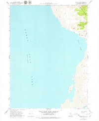
Editions of this 1968 Indian Cove Map
3 editions found
Other maps of this area

1954 · Brigham City
USGS Topo · 1:250,000

1958 · Brigham City
USGS Topo · 1:250,000

1962 · Brigham City
USGS Topo · 1:250,000

1967 · East Promontory
USGS Topo · 1:24,000

1968 · Messix Peak
USGS Topo · 1:24,000

1968 · Pokes Point
USGS Topo · 1:24,000

1968 · Rozel Point
USGS Topo · 1:24,000

1968 · Promontory Point
USGS Topo · 1:24,000

1969 · Rozel Point SW
USGS Topo · 1:24,000

1969 · Carrington Island NW
USGS Topo · 1:24,000