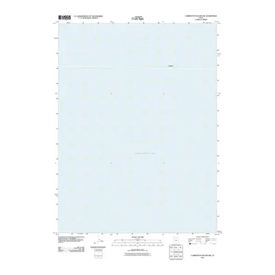
2011 Map of Carrington Island NW
USGS Topo · Published 2011About this map
Great Salt Lake dominates this 2011 survey, illustrating the expansive and fluid landscape of northern Utah. The map specifically highlights the transition between Gunnison Bay and Gilbert Bay, providing a clear view of the open water and shoreline dynamics at this specific point in time. The settlement of Midlake is located on a narrow corridor traversing the lake, representing the critical transportation infrastructure that spans this watery environment. This sheet is primarily a study of the interaction between the saline lake and the few human footprints established within its reach. It serves as a precise record of water levels and coastal features before the more recent fluctuations in the lake’s elevation, making it a valuable tool for understanding the environmental geography of the Great Salt Lake Basin.
Find a feature on this map
4 named features on this map. Tap any name to fly to it.
Don’t see what you’re looking for? This feature index may not catch every label — zoom into the map to look around manually.
Map Details
Editions of this 2011 Carrington Island NW Map
This is the sole edition of this map. No revisions or reprints were ever made.
Other maps of this area

1954 · Brigham City
USGS Topo · 1:250,000

1958 · Brigham City
USGS Topo · 1:250,000

1962 · Brigham City
USGS Topo · 1:250,000

1968 · Indian Cove
USGS Topo · 1:24,000

1968 · Carrington Island SW
USGS Topo · 1:24,000

1968 · Deardens Knoll
USGS Topo · 1:24,000

1968 · Carrington Island
USGS Topo · 1:24,000

1969 · Rozel Point SW
USGS Topo · 1:24,000

1969 · Carrington Island NW
USGS Topo · 1:24,000

1969 · Gunnison Island
USGS Topo · 1:24,000