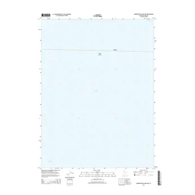
2014 Map of Carrington Island NW
USGS Topo · Published 2014About this map
Great Salt Lake dominates this expanse of the Utah basin, illustrating the stark geography where the high desert meets the brine. The map is defined by the east-west transit of the Southern Pacific Causeway, a massive engineering feat that bisects the waters. Along this corridor sits Midlake, a point of interest for those studying the history of the Lucin Cutoff and the logistics of rail transport across the water. The transition between the northern Gunnison Bay and the southern Gilbert Bay is clearly marked by this artificial land bridge, providing a clear record of the lake's divided hydrology and the industrial footprint required to maintain transcontinental rail connections in the early twenty-first century.
Find a feature on this map
5 named features on this map. Tap any name to fly to it.
Don’t see what you’re looking for? This feature index may not catch every label — zoom into the map to look around manually.
Map Details
Editions of this 2014 Carrington Island NW Map
This is the sole edition of this map. No revisions or reprints were ever made.
Other maps of this area

1954 · Brigham City
USGS Topo · 1:250,000

1958 · Brigham City
USGS Topo · 1:250,000

1962 · Brigham City
USGS Topo · 1:250,000

1968 · Indian Cove
USGS Topo · 1:24,000

1968 · Carrington Island SW
USGS Topo · 1:24,000

1968 · Deardens Knoll
USGS Topo · 1:24,000

1968 · Carrington Island
USGS Topo · 1:24,000

1969 · Rozel Point SW
USGS Topo · 1:24,000

1969 · Carrington Island NW
USGS Topo · 1:24,000

1969 · Gunnison Island
USGS Topo · 1:24,000