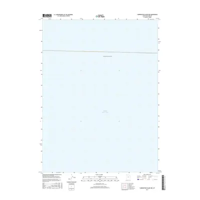
2017 Map of Carrington Island NW
USGS Topo · Published 2017About this map
Great Salt Lake dominates this 2017 quadrangle, where the expansive waters of Box Elder County are transected by the industrial engineering of the Southern Pacific Causeway. This specific portion of the lake highlights the northern reaches of the basin, focusing on the aquatic environment and the vital transportation corridor that spans the salt-crusted landscape. The presence of the causeway indicates the enduring importance of rail logistics in the American West, providing a clear visual record of how human infrastructure interacts with this unique saline ecosystem.
Find a feature on this map
2 named features on this map. Tap any name to fly to it.
Don’t see what you’re looking for? This feature index may not catch every label — zoom into the map to look around manually.
Map Details
Editions of this 2017 Carrington Island NW Map
This is the sole edition of this map. No revisions or reprints were ever made.
Other maps of this area

1954 · Brigham City
USGS Topo · 1:250,000

1958 · Brigham City
USGS Topo · 1:250,000

1962 · Brigham City
USGS Topo · 1:250,000

1968 · Indian Cove
USGS Topo · 1:24,000

1968 · Carrington Island SW
USGS Topo · 1:24,000

1968 · Deardens Knoll
USGS Topo · 1:24,000

1968 · Carrington Island
USGS Topo · 1:24,000

1969 · Rozel Point SW
USGS Topo · 1:24,000

1969 · Carrington Island NW
USGS Topo · 1:24,000

1969 · Gunnison Island
USGS Topo · 1:24,000