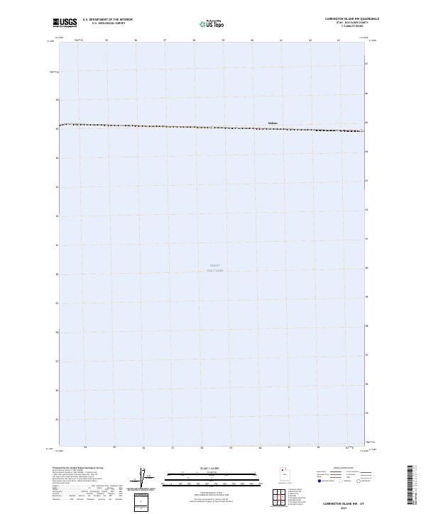
2023 Map of Carrington Island NW
USGS Topo · Published 2023About this map
Great Salt Lake dominates the landscape of this 2023 survey, capturing the vast expanse of the northern terminal basin. A prominent east-west linear feature cuts across the northern portion of the sheet, indicating the infrastructure of the Lucin Cutoff. Along this route, the isolated station of Midlake is noted, a name that recalls the era of rail expansion across the water. The map primarily documents the contemporary shoreline and hydrological levels of the lake as they stood during the late 2010s. This specific quadrangle focuses on the open water and the technological feat of the railroad crossing, providing a precise record of the geography in this part of Box Elder County.
Find a feature on this map
2 named features on this map. Tap any name to fly to it.
Don’t see what you’re looking for? This feature index may not catch every label — zoom into the map to look around manually.
Map Details
Editions of this 2023 Carrington Island NW Map
This is the sole edition of this map. No revisions or reprints were ever made.
Other maps of this area

1954 · Brigham City
USGS Topo · 1:250,000

1958 · Brigham City
USGS Topo · 1:250,000

1962 · Brigham City
USGS Topo · 1:250,000

1968 · Indian Cove
USGS Topo · 1:24,000

1968 · Carrington Island SW
USGS Topo · 1:24,000

1968 · Deardens Knoll
USGS Topo · 1:24,000

1968 · Carrington Island
USGS Topo · 1:24,000

1969 · Rozel Point SW
USGS Topo · 1:24,000

1969 · Carrington Island NW
USGS Topo · 1:24,000

1969 · Gunnison Island
USGS Topo · 1:24,000