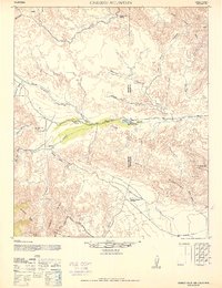
1942 Map of Carrizo Mountain
USGS Topo · Published 1952About this map
The Old Overland Stage Route carves a path through this desert corridor, serving as a primary corridor of travel between the Vallecito Mtns and the Coyote Mountains. This landscape is defined by its arid transit history, anchored by the Old Carrizo Stage Station along Carrizo Creek. Further south, the San Diego and Arizona Eastern railway navigates the complex terrain near the In Ko Pah Mtns, illustrating the mid-century infrastructure required to cross the San Diego and Imperial County line.
Find a feature on this map
29 named features on this map. Tap any name to fly to it.
Don’t see what you’re looking for? This feature index may not catch every label — zoom into the map to look around manually.
Map Details
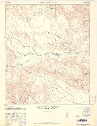
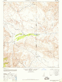
Editions of this 1942 Carrizo Mountain Map
4 editions found

Other maps of this area

1915 · El Centro
USGS Topo · 1:125,000

1931 · Vallecito
USGS Topo · 1:125,000

1931 · Carrizo
USGS Topo · 1:125,000

1939 · Campo
USGS Topo · 1:62,500

1939 · Borrego
USGS Topo · 1:62,500

1939 · Jacumba
USGS Topo · 1:62,500

1940 · Kane Spring
USGS Topo · 1:62,500

1940 · Plaster City
USGS Topo · 1:62,500

1940 · Coyote Wells
USGS Topo · 1:62,500

1942 · Barrel Spring
USGS Topo · 1:62,500