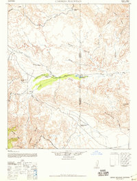
1942 Map of Carrizo Mountain
USGS Topo · Published 1958About this map
The Old Overland Stage Route carves a historical path through this desert landscape, tracing the course of Vallecito Creek and Carrizo Creek toward the Old Carrizo Stage Station. This transit corridor reflects the mid-19th-century mail and passenger network that preceded modern highways, anchored here by the station and nearby water sources like Mountain Palm Springs and Pamitas Spring. To the north, the discovery of Prehistoric Animal Tracks near Fish Creek points to the deep geological and paleontological significance of the Badlands area.
Find a feature on this map
35 named features on this map. Tap any name to fly to it.
Don’t see what you’re looking for? This feature index may not catch every label — zoom into the map to look around manually.
Map Details
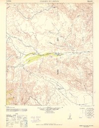
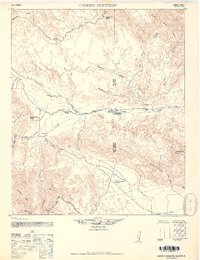
Editions of this 1942 Carrizo Mountain Map
4 editions found

Other maps of this area

1915 · El Centro
USGS Topo · 1:125,000

1931 · Vallecito
USGS Topo · 1:125,000

1931 · Carrizo
USGS Topo · 1:125,000

1939 · Campo
USGS Topo · 1:62,500

1939 · Borrego
USGS Topo · 1:62,500

1939 · Jacumba
USGS Topo · 1:62,500

1940 · Kane Spring
USGS Topo · 1:62,500

1940 · Plaster City
USGS Topo · 1:62,500

1940 · Coyote Wells
USGS Topo · 1:62,500

1942 · Barrel Spring
USGS Topo · 1:62,500