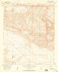
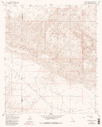
1957 Map of Carrizo Mtn
USGS Topo · Published 1959About this map
Anza-Borrego Desert State Park spans the western reaches of this 1950s survey, where the rugged transition between the Coyote Mountains and the Carrizo Badlands is meticulously documented. The landscape is defined by the sharp contrast between the arid peaks, including Carrizo Mtn, and the deep drainage systems of Fossil Canyon and Palm Canyon Wash. Evidence of mid-century infrastructure and military activity is visible, specifically the Carrizo Impact Area Naval Reservation occupying the northeastern corner and the transit route of the Imperial Highway cutting through the southern desert floor.
Find a feature on this map
16 named features on this map. Tap any name to fly to it.
Don’t see what you’re looking for? This feature index may not catch every label — zoom into the map to look around manually.
Map Details
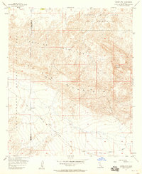
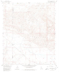
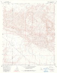
Editions of this 1957 Carrizo Mtn Map
5 editions found
Other maps of this area

1915 · El Centro
USGS Topo · 1:125,000

1931 · Carrizo
USGS Topo · 1:125,000

1939 · Jacumba
USGS Topo · 1:62,500

1940 · Plaster City
USGS Topo · 1:62,500

1940 · Coyote Wells
USGS Topo · 1:62,500

1942 · El Centro
USGS Topo · 1:250,000

1942 · Carrizo Mtn
USGS Topo · 1:62,500

1942 · Jacumba
USGS Topo · 1:62,500

1943 · Coyote Wells
USGS Topo · 1:62,500

1944 · Plaster City
USGS Topo · 1:62,500