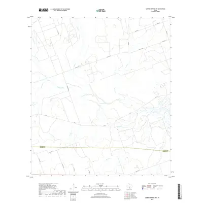
2019 Map of Carrizo Springs NW
USGS Topo · Published 2019About this map
The brushy South Texas drainage basins of Zavala and Dimmit counties are defined here by a series of ephemeral waterways and seasonal depressions. Significant water features such as Crooked Lake and Rocky Lake provide focal points within a landscape primarily crisscrossed by ranch roads and local thoroughfares like FM 393 and Ranch Rd 1668. The map documents a rural environment where land use is reflected in infrastructure like City Landfill Rd and various named routes including Kingburger Rd and Barker Rd. Numerous creeks, including Turkey Creek, Comanche Creek, and Picosa Creek, weave through the terrain, illustrating the natural drainage patterns that dictate the placement of ranching operations and roadways in this portion of the Rio Grande Plain.
Find a feature on this map
27 named features on this map. Tap any name to fly to it.
Don’t see what you’re looking for? This feature index may not catch every label — zoom into the map to look around manually.
Map Details
Editions of this 2019 Carrizo Springs NW Map
This is the sole edition of this map. No revisions or reprints were ever made.
Other maps of this area

1939 · Carrizo Springs
USGS Topo · 1:62,500

1939 · La Pryor
USGS Topo · 1:62,500

1940 · Cometa
USGS Topo · 1:62,500

1940 · Chacon Creek
USGS Topo · 1:62,500

1953 · Crystal City
USGS Topo · 1:250,000

1955 · Crystal City
USGS Topo · 1:250,000

1958 · Eagle Pass
USGS Topo · 1:250,000

1961 · Crystal City
USGS Topo · 1:250,000

1965 · Eagle Pass
USGS Topo · 1:250,000

1968 · Crystal City
USGS Topo · 1:250,000