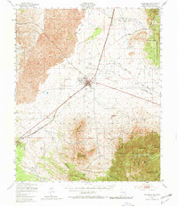
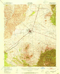
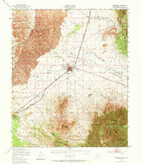
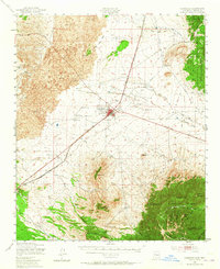
1950 Map of Carrizozo
USGS Topo · Published 1980About this map
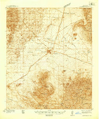
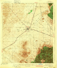
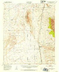
Carrizozo serves as the central hub of this mid-century landscape, positioned where the high desert meets the formidable Malpais and Lava flows to the west. The town’s role as a transportation and service center is evident through the path of the Southern Pacific railroad and the presence of the Carrizozo Airport. Local life is anchored by several institutions, including the Trinity Ch, the Church of Christ, and the nearby Evergreen Cem.
Find a feature on this map
41 named features on this map. Tap any name to fly to it.
Don’t see what you’re looking for? This feature index may not catch every label — zoom into the map to look around manually.
Map Details
Editions of this 1950 Carrizozo Map
4 editions found
Other maps of this area

1916 · Tularosa
USGS Topo · 1:125,000

1918 · Oscura Peak
USGS Topo · 1:125,000

1934 · Capitan
USGS Topo · 1:48,000

1937 · Capitan
USGS Topo · 1:62,500
1938 · Carrizozo
USGS Topo · 1:48,000
1943 · Carrizozo
USGS Topo · 1:62,500
1947 · Three Rivers
USGS Topo · 1:62,500
1948 · Broken Back Crater
USGS Topo · 1:62,500

1948 · Chihuahua Ranch
USGS Topo · 1:62,500

1950 · Oscura
USGS Topo · 1:24,000