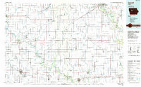
1985 Map of Carroll
USGS Topo · Published 1985About this map
The Des Moines River carves a deep valley through the eastern portion of this West-Central Iowa landscape, where the wooded bluffs of Dolliver Memorial State Park and Woodmans Hollow State Park stand in contrast to the surrounding agricultural plains. The 1980s prairie is defined by a dense grid of drainage systems, including Ditch No 31 and Purgatory Creek, which transformed the once-marshy terrain into some of the most productive farmland in the nation. To the west, the glacial waters of North Twin Lake and South Twin Lake remain as notable natural features.
Find a feature on this map
147 named features on this map. Tap any name to fly to it.
Don’t see what you’re looking for? This feature index may not catch every label — zoom into the map to look around manually.
Map Details
Editions of this 1985 Carroll Map
This is the sole edition of this map. No revisions or reprints were ever made.
Other maps of this area
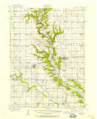
1911 · Madrid
USGS Topo · 1:62,500
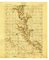
1914 · Madrid
USGS Topo · 1:62,500
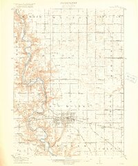
1916 · Boone
USGS Topo · 1:62,500
1923 · Lehigh
USGS Topo · 1:62,500
1923 · Fort Dodge
USGS Topo · 1:62,500
1950 · Perry
USGS Topo · 1:62,500
1951 · Perry
USGS Topo · 1:62,500
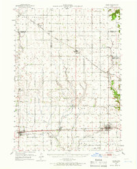
1951 · Ogden
USGS Topo · 1:62,500
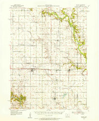
1954 · Bagley
USGS Topo · 1:62,500

1954 · Omaha
USGS Topo · 1:250,000