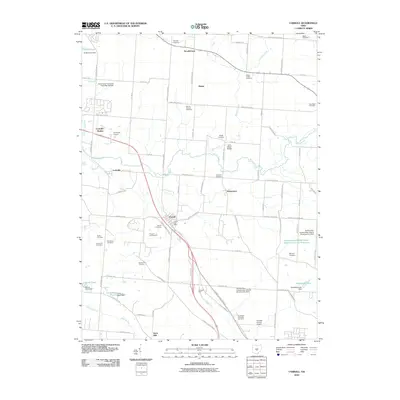
2010 Map of Carroll
USGS Topo · Published 2010About this map
Carroll sits at the heart of this Fairfield County landscape, where modern road networks intersect with a long-standing agricultural and transport corridor. The area shows a high density of rural burial grounds, such as Mount Carmel Cemetery and Fairchild Cemetery, reflecting generations of local family history. Water management is a defining characteristic of the terrain, visible through the various structures of the Hunters Run Conservation District, including Hunters Run Conservation District Structure Five Dam and Hunters-Run-Conservation District Structure Reservoir.
Find a feature on this map
87 named features on this map. Tap any name to fly to it.
Don’t see what you’re looking for? This feature index may not catch every label — zoom into the map to look around manually.
Map Details
Editions of this 2010 Carroll Map
This is the sole edition of this map. No revisions or reprints were ever made.
Other maps of this area

1907 · Lancaster
USGS Topo · 1:62,500

1907 · Thurston
USGS Topo · 1:62,500

1909 · Lancaster
USGS Topo · 1:62,500

1909 · Thurston
USGS Topo · 1:62,500

1914 · Circleville
USGS Topo · 1:62,500

1925 · East Columbus
USGS Topo · 1:62,500

1943 · Circleville
USGS Topo · 1:62,500

1943 · East Columbus
USGS Topo · 1:62,500

1947 · Columbus
USGS Topo · 1:250,000
1955 · Canal Winchester
USGS Topo · 1:24,000