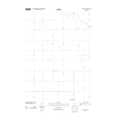
2013 Map of Carroll NE
USGS Topo · Published 2013About this map
The N Raccoon River winds through the northern portion of this agricultural landscape in Carroll County, marked by the crossing at Lake City Bridge. The terrain is defined by a dense grid of rural avenues and streets that support the region's farming operations, including the Onken Feedlots south of 140th Street. To the south, the community of Lidderdale sits at the edge of the survey area, while the historical rail point or siding of Kentner is noted further north along 130th Street.
Find a feature on this map
43 named features on this map. Tap any name to fly to it.
Don’t see what you’re looking for? This feature index may not catch every label — zoom into the map to look around manually.
Map Details
Editions of this 2013 Carroll NE Map
This is the sole edition of this map. No revisions or reprints were ever made.
Other maps of this area

1954 · Fort Dodge
USGS Topo · 1:250,000

1957 · Fort Dodge
USGS Topo · 1:250,000

1958 · Fort Dodge
USGS Topo · 1:250,000
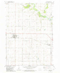
1980 · Glidden
USGS Topo · 1:24,000

1980 · Breda
USGS Topo · 1:24,000

1980 · Grant City
USGS Topo · 1:24,000

1980 · Carroll NE
USGS Topo · 1:24,000

1980 · Yetter
USGS Topo · 1:24,000
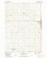
1980 · Carroll West
USGS Topo · 1:24,000
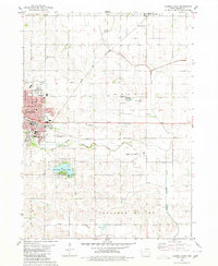
1980 · Carroll East
USGS Topo · 1:24,000