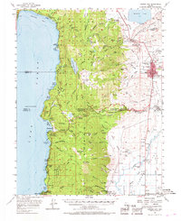
1956 Map of Carson City
USGS Topo · Published 1969About this map
Carson City serves as the focal point of this mid-century survey, showing the state capital as a compact urban center before the rapid expansions of the late 20th century. The map detail highlights the State Capitol and the Carson-Tahoe Hospital, while institutional sites like Sunny Acres Childrens Home and the Stewart (Indian Agency) are clearly marked on the outskirts. To the west, the landscape transitions into the Toiyabe National Forest, where the shores of Lake Tahoe reveal early development at Glenbrook, Sand Harbor, and Incline.
Find a feature on this map
94 named features on this map. Tap any name to fly to it.
Don’t see what you’re looking for? This feature index may not catch every label — zoom into the map to look around manually.
Map Details
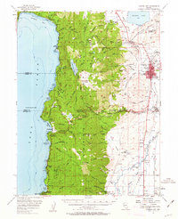
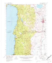
Editions of this 1956 Carson City Map
4 editions found

Other maps of this area

1889 · Pyramid Peak
USGS Topo · 1:125,000

1889 · Markleeville
USGS Topo · 1:125,000

1891 · Carson
USGS Topo · 1:125,000

1891 · Markleeville
USGS Topo · 1:125,000

1891 · Truckee
USGS Topo · 1:125,000

1891 · Pyramid Peak
USGS Topo · 1:125,000

1893 · Carson
USGS Topo · 1:125,000

1893 · Markleeville
USGS Topo · 1:125,000

1893 · Truckee
USGS Topo · 1:125,000

1895 · Pyramid Peak
USGS Topo · 1:125,000