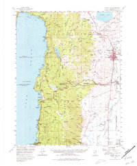
1956 Map of Carson City
USGS Topo · Published 1980About this map
Carson City serves as the focal point of this mid-1950s survey, showing the Nevada state capital before its major late-century expansion. The map captures the distinct geographic transition from the high-desert terrain of Eagle Valley and the Carson River basin up into the Sierra Nevada range. Along the shoreline of Lake Tahoe, established enclaves like Glenbrook and Incline are visible, while the interior peaks like Genoa Peak and Snow Valley Peak separate the lake from the older settlements of the valley floor.
Find a feature on this map
87 named features on this map. Tap any name to fly to it.
Don’t see what you’re looking for? This feature index may not catch every label — zoom into the map to look around manually.
Map Details
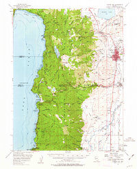
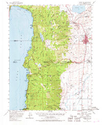
Editions of this 1956 Carson City Map
4 editions found

Other maps of this area

1889 · Pyramid Peak
USGS Topo · 1:125,000

1889 · Markleeville
USGS Topo · 1:125,000

1891 · Carson
USGS Topo · 1:125,000

1891 · Markleeville
USGS Topo · 1:125,000

1891 · Truckee
USGS Topo · 1:125,000

1891 · Pyramid Peak
USGS Topo · 1:125,000

1893 · Carson
USGS Topo · 1:125,000

1893 · Markleeville
USGS Topo · 1:125,000

1893 · Truckee
USGS Topo · 1:125,000

1895 · Pyramid Peak
USGS Topo · 1:125,000