
1908 Map of Carson Sink
USGS Topo · Published 1954About this map
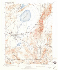
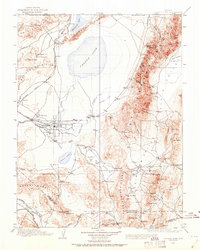
Fallon and the agricultural lands along the Carson River form the central hub of this Great Basin landscape, where irrigation networks contrast with the surrounding arid terrain. To the north, the Carson Sink and Humboldt Lake dominate a region defined by extensive alkali flats and the Southern Pacific rail line. The map illustrates a transitional period in Nevada's development, balancing established farming communities like St Clair and Stillwater against an active mining frontier. High in the Stillwater Range and Sand Springs Range, operations such as the Nevada Hills Mine and the Mizpah Mine near Fairview highlight the era's mineral rush. Unusual industrial sites like the Borax Works at Eightmile Flat and remote outposts such as Coppereid and Wonder provide a rare record of the desert's early 20th-century economic reach.
Find a feature on this map
106 named features on this map. Tap any name to fly to it.
Don’t see what you’re looking for? This feature index may not catch every label — zoom into the map to look around manually.
Map Details
Editions of this 1908 Carson Sink Map
3 editions found
Other maps of this area

1886 · Granite Range
USGS Topo · 1:250,000

1890 · Wadsworth
USGS Topo · 1:125,000

1891 · Wabuska
USGS Topo · 1:125,000

1891 · Wellington
USGS Topo · 1:125,000

1892 · Wadsworth
USGS Topo · 1:125,000

1893 · Wellington
USGS Topo · 1:125,000

1894 · Granite Range
USGS Topo · 1:250,000

1894 · Wadsworth
USGS Topo · 1:125,000

1894 · Wabuska
USGS Topo · 1:125,000

1907 · Tonopah
USGS Topo · 1:250,000