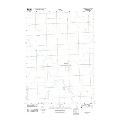
2011 Map of Carsonville
USGS Topo · Published 2011About this map
Carsonville serves as the central hub of this eastern Sanilac County landscape, situated amidst a grid of section-line roads that define the region's agricultural character. The village is anchored by the Carsonville Post Office and sits at the intersection of local routes like Sheldon St. North of the village, the village's cultural and commercial footprints are seen at the Hi-Way Drive-In Theater, a distinctive landmark in an area otherwise dominated by small watercourses and family-named landmarks.
Find a feature on this map
31 named features on this map. Tap any name to fly to it.
Don’t see what you’re looking for? This feature index may not catch every label — zoom into the map to look around manually.
Map Details
Editions of this 2011 Carsonville Map
This is the sole edition of this map. No revisions or reprints were ever made.
Other maps of this area

1954 · Flint
USGS Topo · 1:250,000

1958 · Flint
USGS Topo · 1:250,000

1963 · Sandusky
USGS Topo · 1:24,000

1963 · Peck
USGS Topo · 1:24,000

1963 · Croswell
USGS Topo · 1:24,000

1963 · Port Sanilac
USGS Topo · 1:24,000

1963 · Palms
USGS Topo · 1:24,000

1963 · Applegate
USGS Topo · 1:24,000

1963 · Deckerville
USGS Topo · 1:24,000

1963 · Richmondville
USGS Topo · 1:24,000
Featured Places
- Carsonville, MI
- Washington Township, MI
- Forester Township, MI
- Watertown Township, MI
- Bridgehampton Township, MI