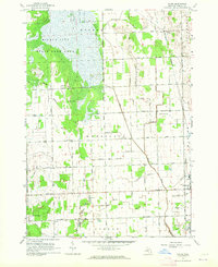
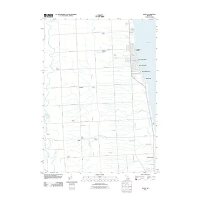
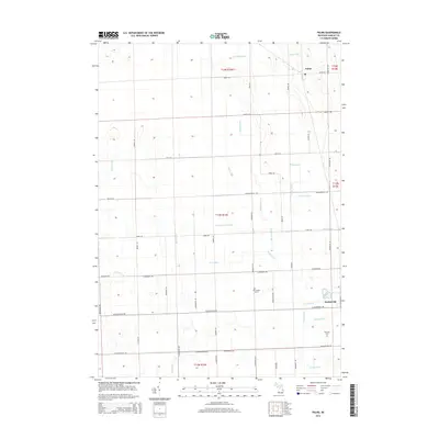
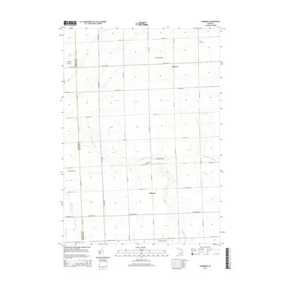
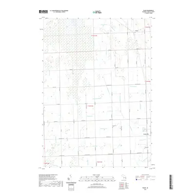
1963 Map of Palms
USGS Topo · Published 1964About this map
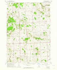
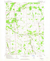
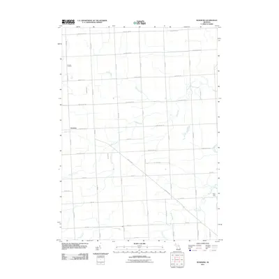
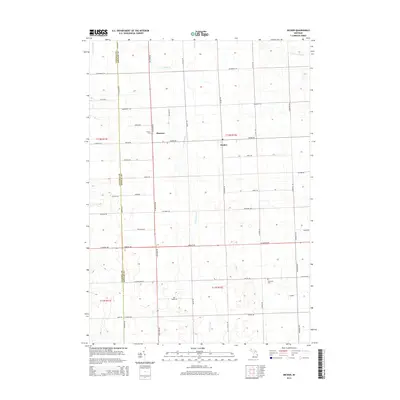
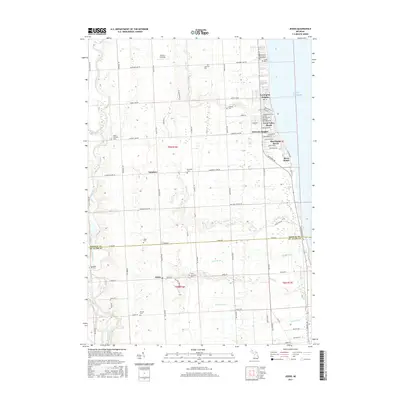
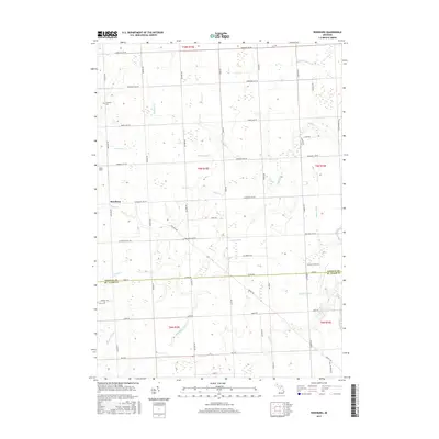
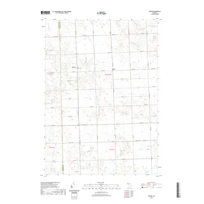
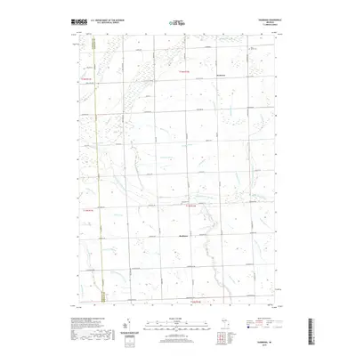
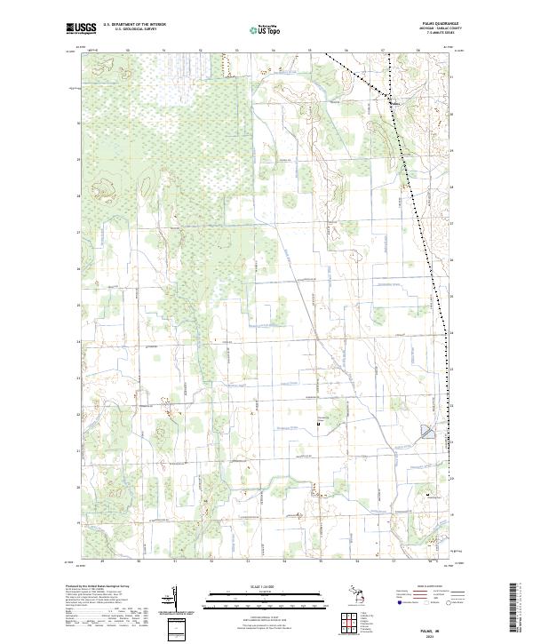
The Minden City State Game Area dominates the northwestern portion of this 1963 survey, illustrating the marshy, wet headwaters of the regional drainage system. The landscape of northern Sanilac County is defined by an intricate network of man-made waterways like the Minden City Drain and Mills Drain, which serve the agricultural townships of Wheatland and Argyle. This extensive drainage infrastructure reflects the mid-century transformation of the Thumb region's wetlands into productive farmland.
Find a feature on this map
55 named features on this map. Tap any name to fly to it.
Don’t see what you’re looking for? This feature index may not catch every label — zoom into the map to look around manually.
Map Details
Editions of this 1963 Palms Map
This is the sole edition of this map. No revisions or reprints were ever made.
Historical Maps of Deckerville Through Time
59 maps found
1961 Jeddo
Sanilac County, MI
1961 Roseburg
Sanilac County, MI
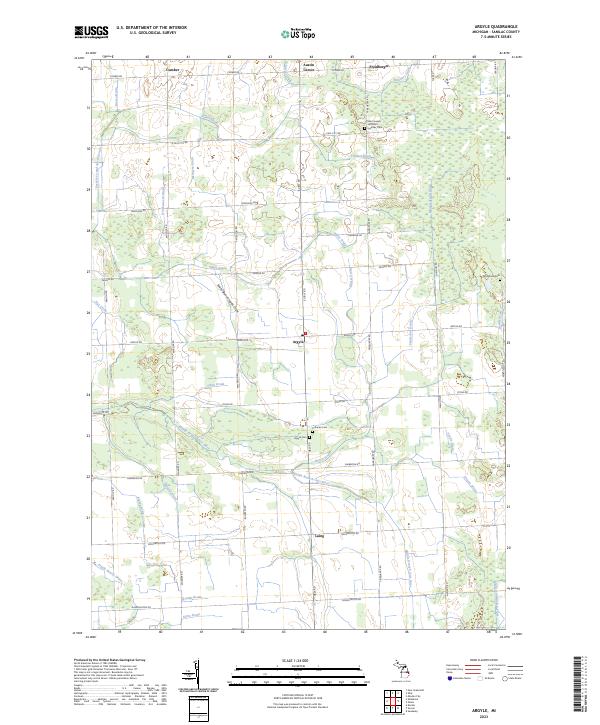
1963 Argyle
Sanilac County, MI
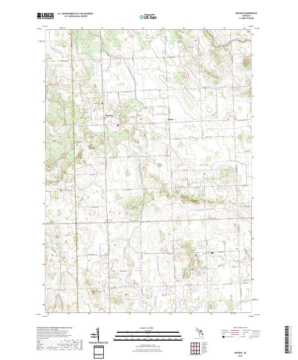
1963 Decker
Sanilac County, MI
1963 Juhl
Sanilac County, MI
1963 Palms
Sanilac County, MI
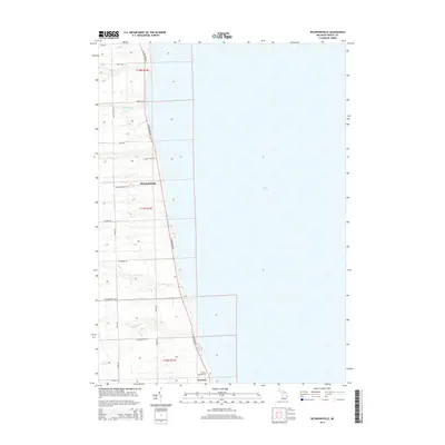
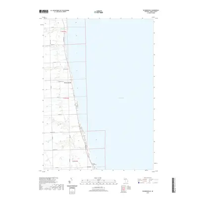
1963 Richmondville
Sanilac County, MI
1963 Ruth
Sanilac County, MI
1963 Shabbona
Sanilac County, MI
2011 Argyle
Sanilac County, MI
2011 Decker
Sanilac County, MI
2011 Jeddo OE E
Sanilac County, MI
2011 Jeddo
Sanilac County, MI
2011 Juhl
Sanilac County, MI
2011 Palms
Sanilac County, MI
2011 Richmondville
Sanilac County, MI
2011 Roseburg
Sanilac County, MI
2011 Ruth
Sanilac County, MI
2011 Shabbona
Sanilac County, MI
2014 Argyle
Sanilac County, MI
2014 Decker
Sanilac County, MI
2014 Jeddo OE E
Sanilac County, MI
2014 Jeddo
Sanilac County, MI
2014 Juhl
Sanilac County, MI
2014 Palms
Sanilac County, MI
2014 Richmondville
Sanilac County, MI
2014 Roseburg
Sanilac County, MI
2014 Ruth
Sanilac County, MI
2014 Shabbona
Sanilac County, MI
2017 Argyle
Sanilac County, MI
2017 Decker
Sanilac County, MI
2017 Jeddo OE E
Sanilac County, MI
2017 Jeddo
Sanilac County, MI
2017 Juhl
Sanilac County, MI
2017 Palms
Sanilac County, MI
2017 Richmondville
Sanilac County, MI
2017 Roseburg
Sanilac County, MI
2017 Ruth
Sanilac County, MI
2017 Shabbona
Sanilac County, MI
2019 Argyle
Sanilac County, MI
2019 Decker
Sanilac County, MI
2019 Jeddo OE E
Sanilac County, MI
2019 Jeddo
Sanilac County, MI
2019 Juhl
Sanilac County, MI
2019 Palms
Sanilac County, MI
2019 Richmondville
Sanilac County, MI
2019 Roseburg
Sanilac County, MI
2019 Ruth
Sanilac County, MI
2019 Shabbona
Sanilac County, MI
2023 Argyle
Sanilac County, MI
2023 Decker
Sanilac County, MI
2023 Jeddo OE E
Sanilac County, MI
2023 Jeddo
Sanilac County, MI
2023 Juhl
Sanilac County, MI
2023 Palms
Sanilac County, MI
2023 Richmondville
Sanilac County, MI
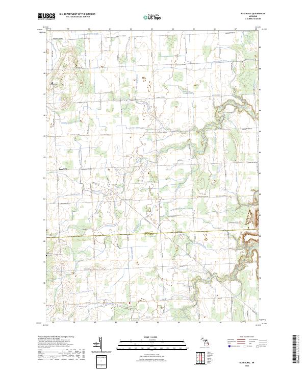
2023 Roseburg
Sanilac County, MI
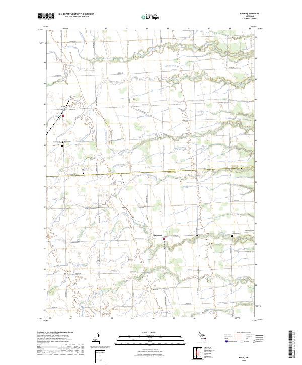
2023 Ruth
Sanilac County, MI
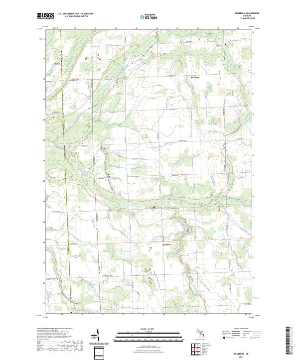
2023 Shabbona
Sanilac County, MI
Featured Locations
- Bridgehampton Township, MI
- Marion Township, MI
- Moore Township, MI
- Deckerville, Marion Township
- Banner, Wheatland Township