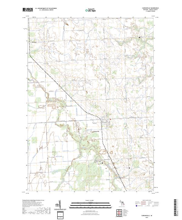
2023 Map of Carsonville
USGS Topo · Published 2023About this map
Carsonville serves as the central hub of this agricultural landscape in Sanilac County, where the village grid meets the waters of the Black River. The surrounding territory is characterized by a dense network of managed drainage systems, including the Carsonville-Drain, McDonald Drain, and Alexander Drain, which support the fertile farmland of the Michigan Thumb. Local genealogy is well-documented through several historic burial grounds such as Saint Marys Cem, Washington Township Cem, and Tucker Cem. The landscape is further defined by its natural watercourses like Elk Creek and Forester Creek, which cut through the township sections toward Lake Huron. This 2023 edition preserves the established road network, showing the importance of transit corridors like E Sanilac Rd and Ruth Rd in connecting the rural community of McGregor to the larger township centers.
Find a feature on this map
68 named features on this map. Tap any name to fly to it.
Don’t see what you’re looking for? This feature index may not catch every label — zoom into the map to look around manually.
Map Details
Editions of this 2023 Carsonville Map
This is the sole edition of this map. No revisions or reprints were ever made.
Other maps of this area

1954 · Flint
USGS Topo · 1:250,000

1958 · Flint
USGS Topo · 1:250,000

1963 · Sandusky
USGS Topo · 1:24,000

1963 · Peck
USGS Topo · 1:24,000

1963 · Croswell
USGS Topo · 1:24,000

1963 · Port Sanilac
USGS Topo · 1:24,000

1963 · Palms
USGS Topo · 1:24,000

1963 · Applegate
USGS Topo · 1:24,000

1963 · Deckerville
USGS Topo · 1:24,000

1963 · Richmondville
USGS Topo · 1:24,000